Island in the Sky is the more northern and more popular district of Canyonlands NP, and, while it does border the Needles, the two districts are separated by the mighty canyons of the Colorado River and therefore are about 3-4 hours away from each other (hence the separate post). As you’ll see, they also offer quite different experiences (at least to me).
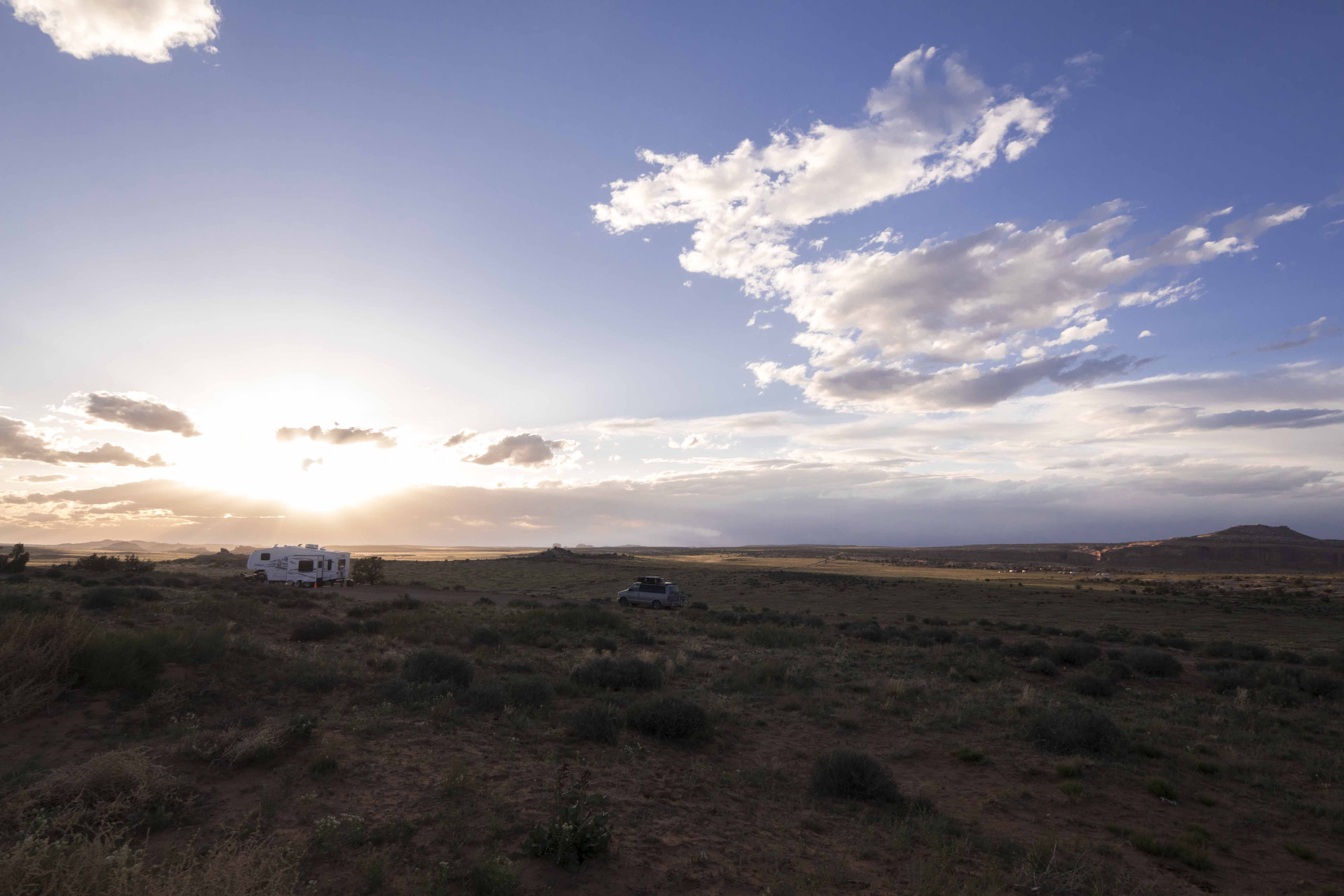
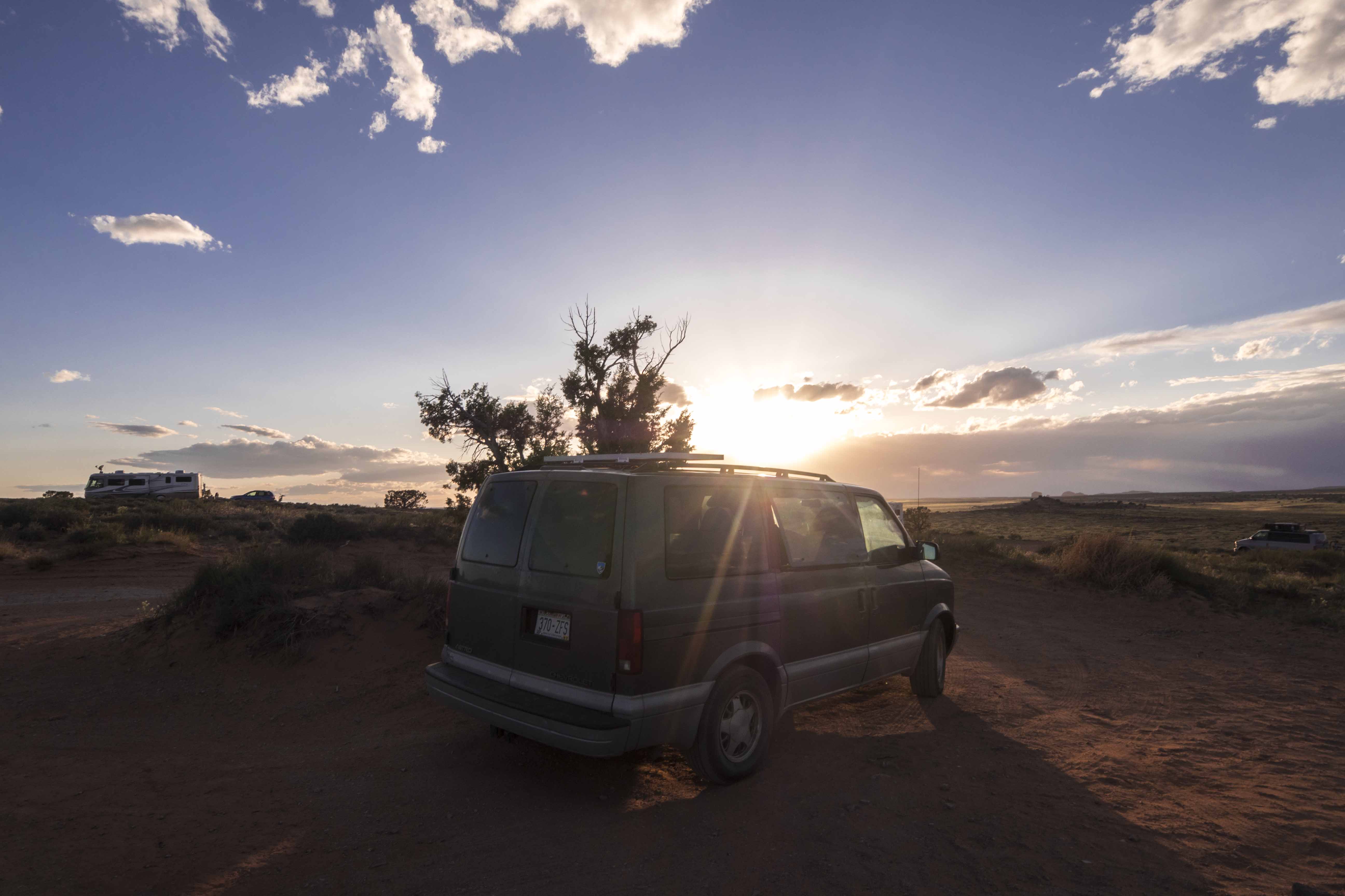
I wanted to get an early start exploring the park, so the night before visiting I left Moab and camped on some BLM land just outside the park entrance (about 40 minutes or so from downtown). It was extremely windy and I spent the night huddled in Van Halen watching John Carpenter movies.
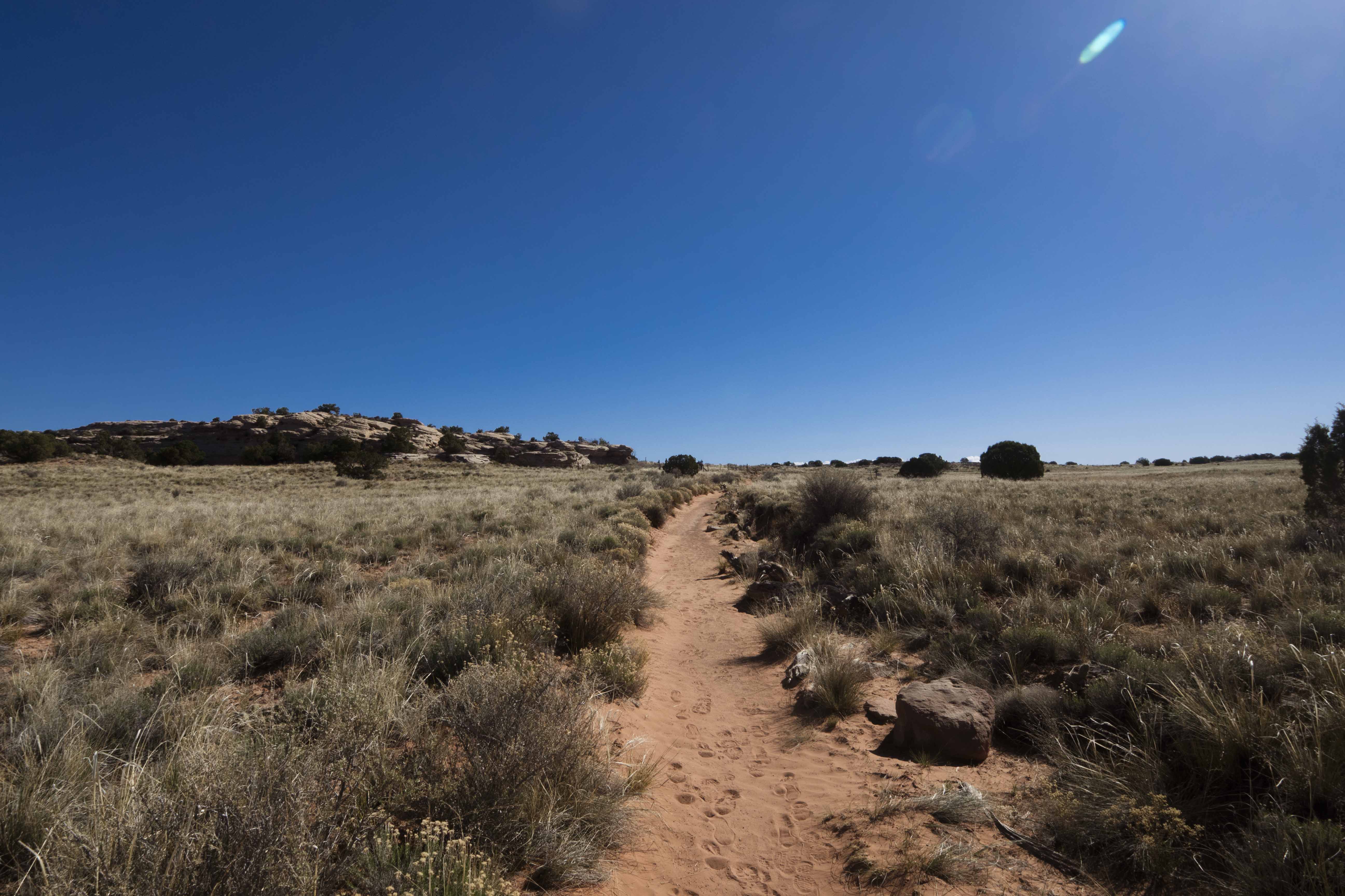
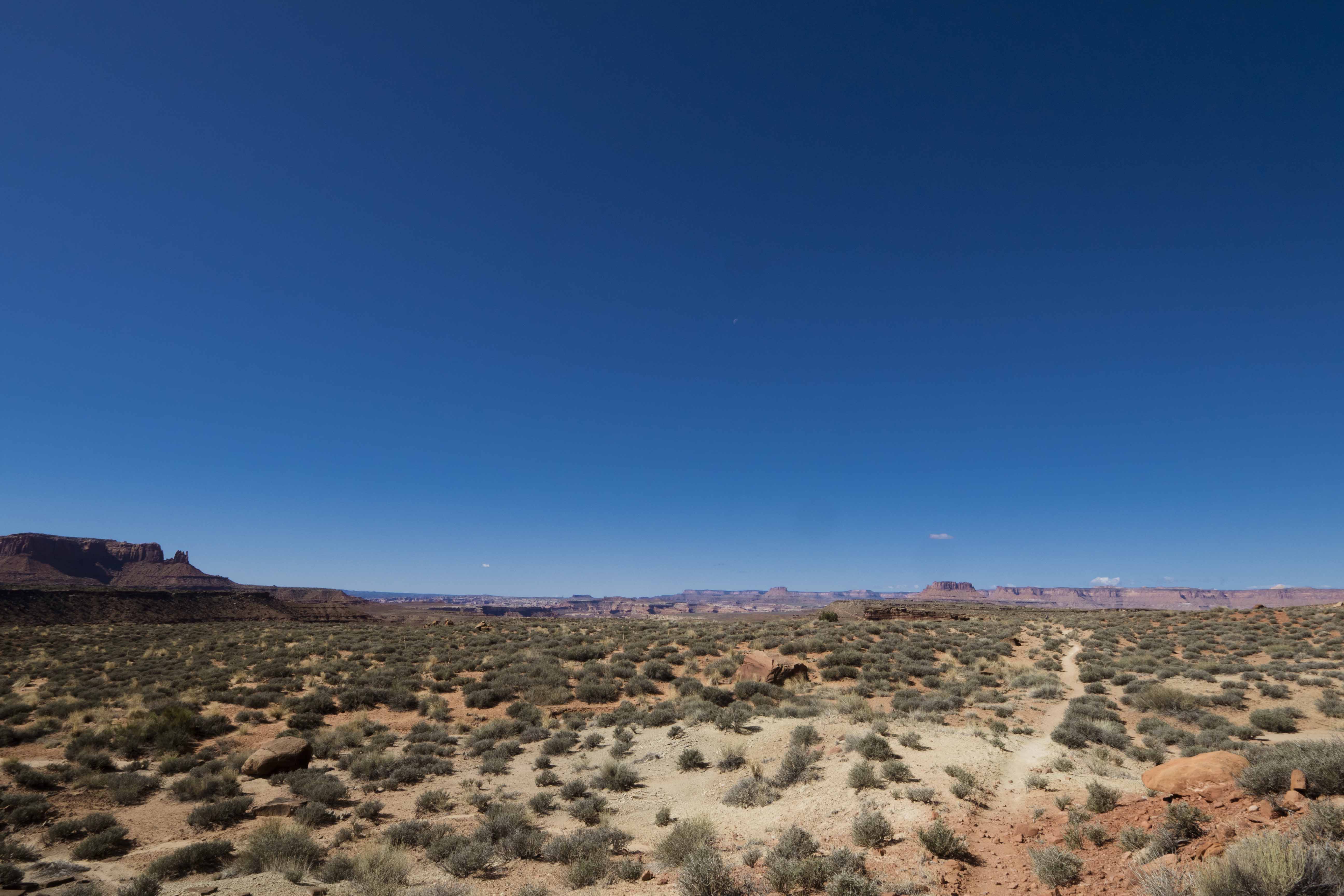
Early the next morning I was at the ranger station seeking some good trail info. When asked, the ranger did not hesitate to suggest the Murphy Loop trail and I admired his conviction so much I decided to go for it. The trail starts with a nice stroll along the top of the mesa that makes up the Island in the Sky and the ground was covered with pasture land dotted with pine and juniper. It really felt like a walk through some empty corner of Montana or Wyoming.
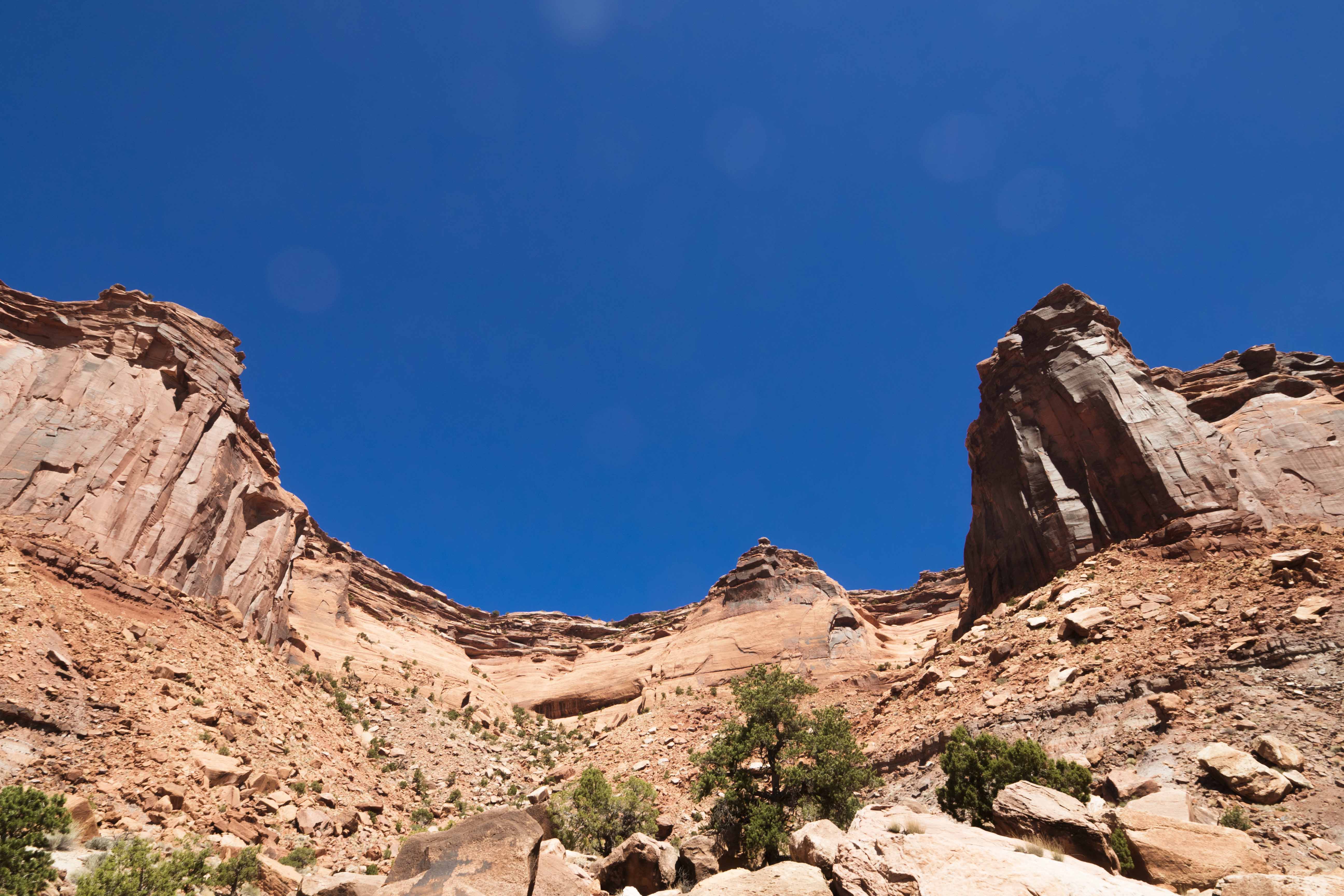
The suddenly, BAM!, you come to the edge of the mesa and are reminded that you are about 1,400 quite vertical feet above White Rim Road (where the trail goes) and even farther above the Green River.
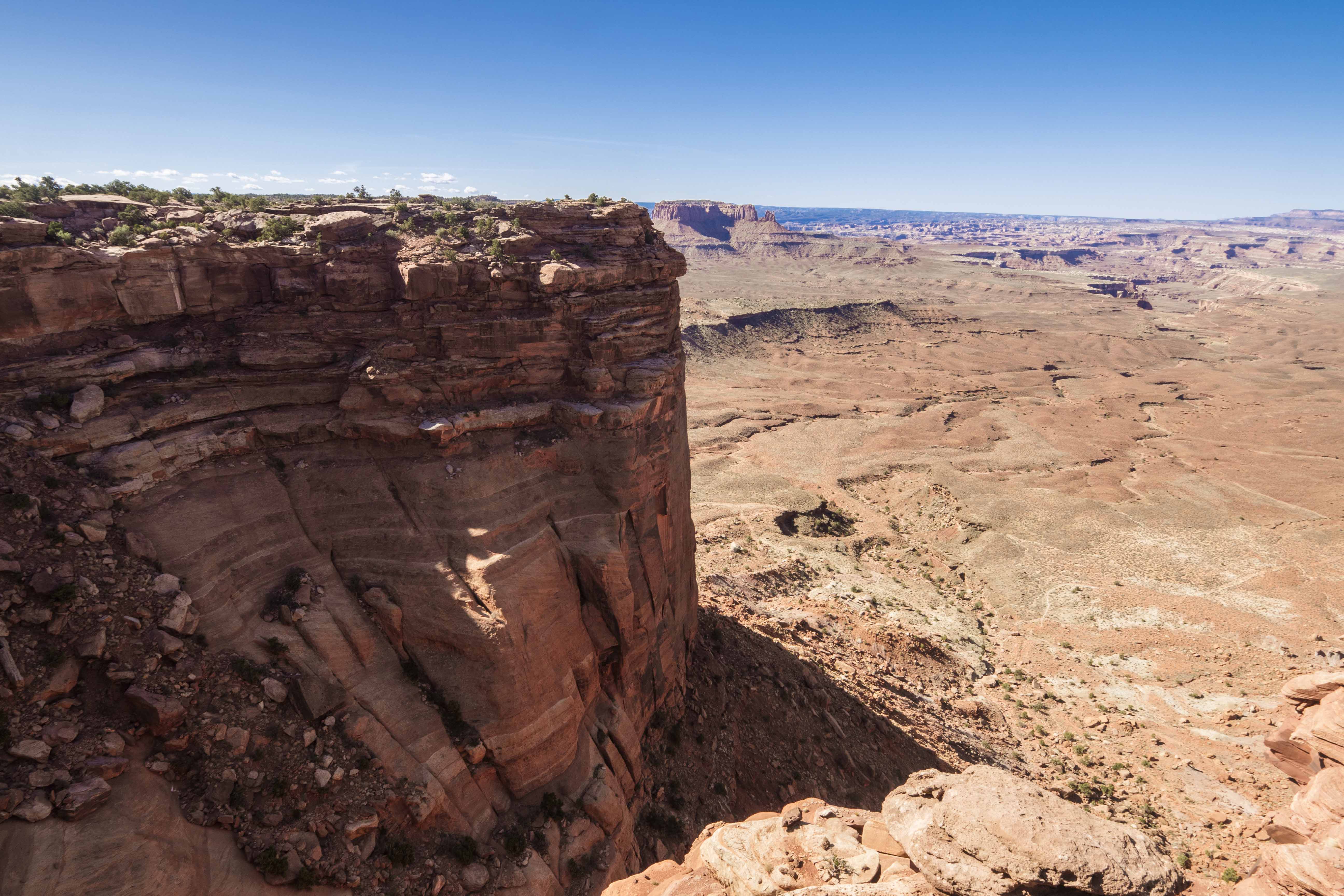
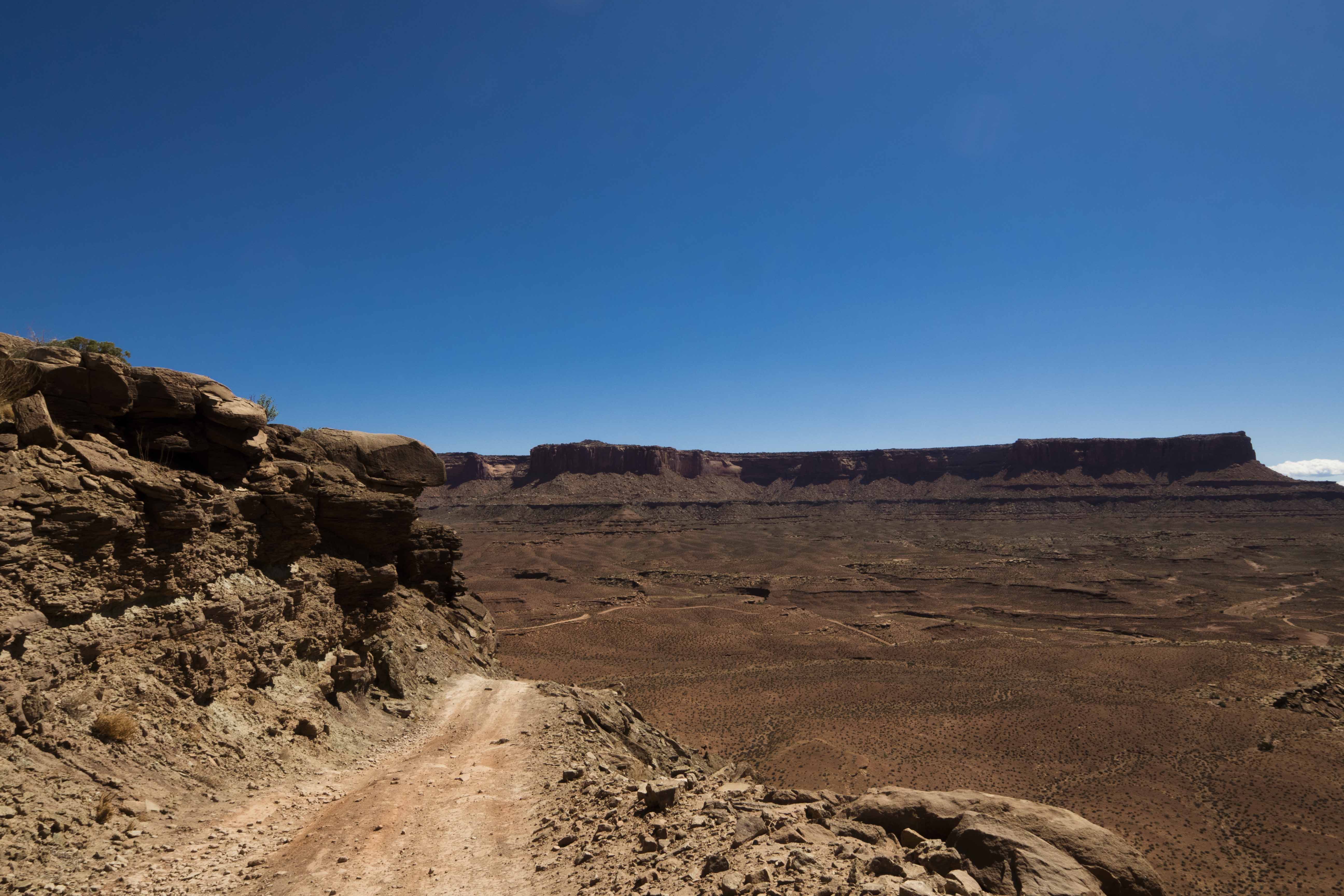
The descent to the base of the Kayenta formation is an impressive feat of trail construction and was reminiscent of the logic-defying switchbacks of the Moki Dugway. I picked my way along narrow ledges, down talus slopes, and across a wooden bridge, at each turn guided by the solemn presence of a cairn, until I was safely at the base of the cliff where the trail split.
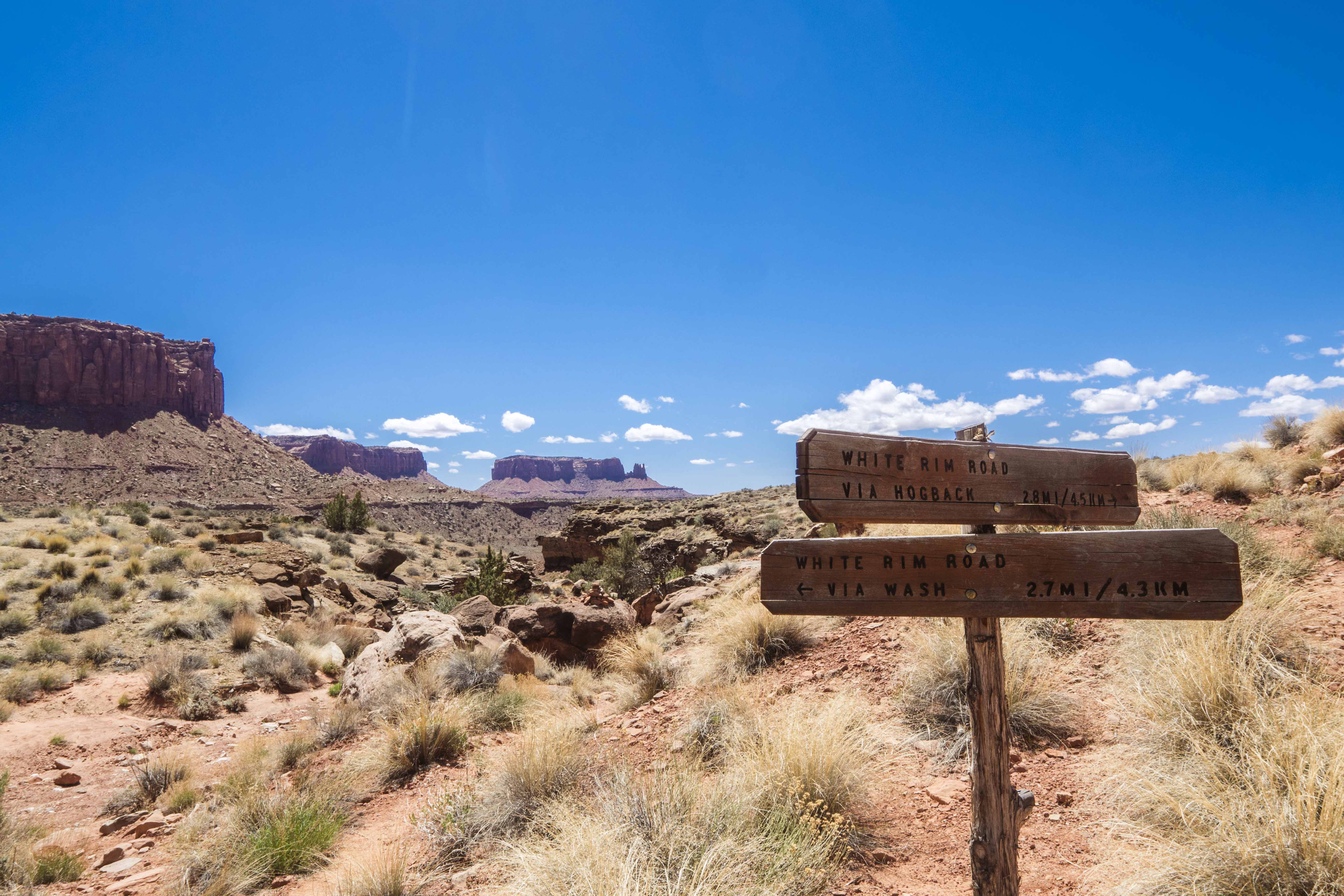
Upon the ranger’s advice I went out along the Hogsback (is everything called Hogsback out here?) - a spit of higher White Rim stone that allows consistent views down to the a deeper past as the trail makes its way towards White Rim Road. This section of the tail was extremely easy and pleasant. The way was flat and well packed and, although the Sun was out, it was very cool and just about perfect walking conditions. Every once and a while I would hear/see a dirtbike or two far off on the White Rim Road, but these were only temporary intrusions to my reverie.
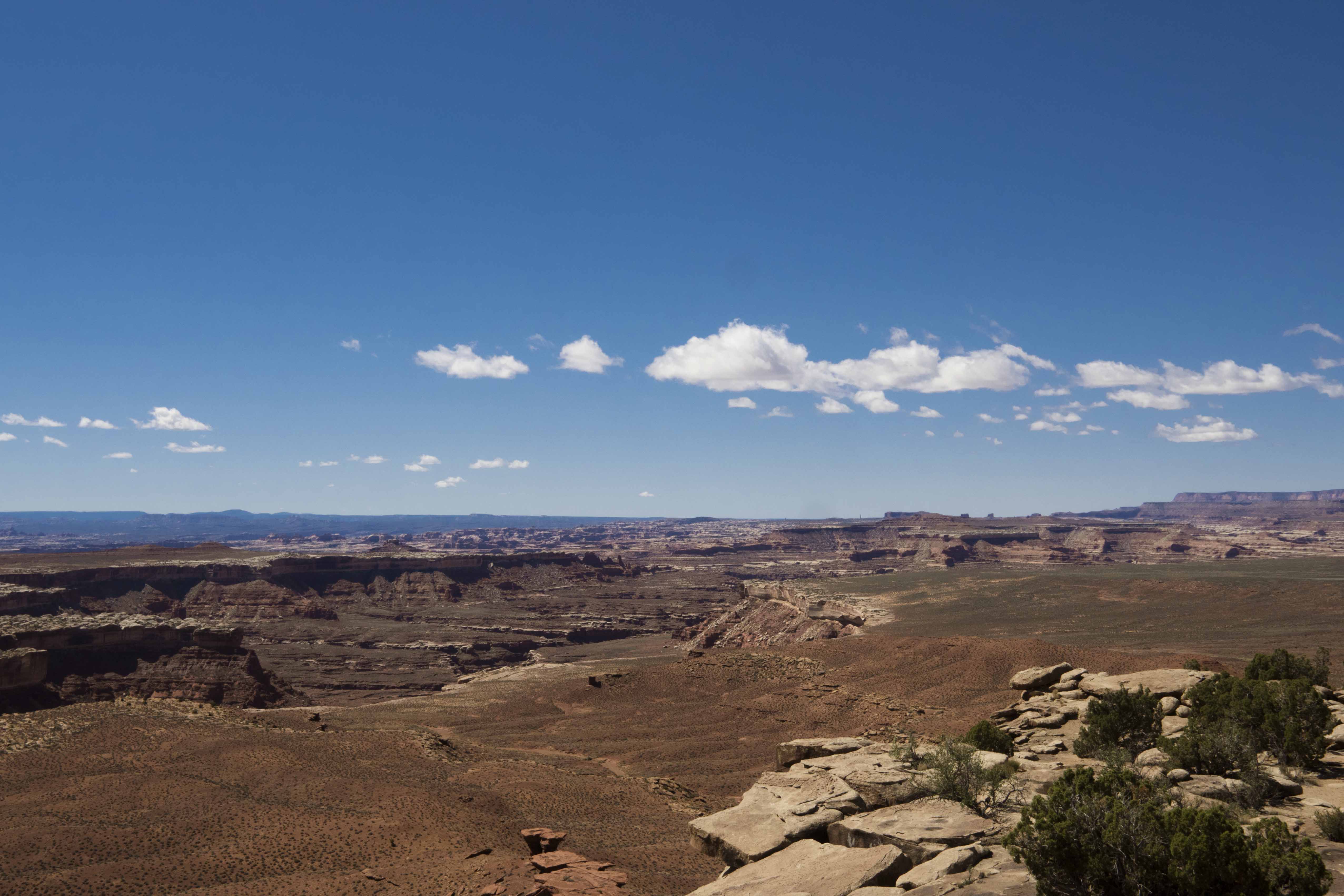
The views were good, but never quite spectacular - I wasn’t high enough to get a commanding view of the whole area - and the pleasure of the hike came mostly from the walk itself and not necessarily the environment, which seemed a little strange.
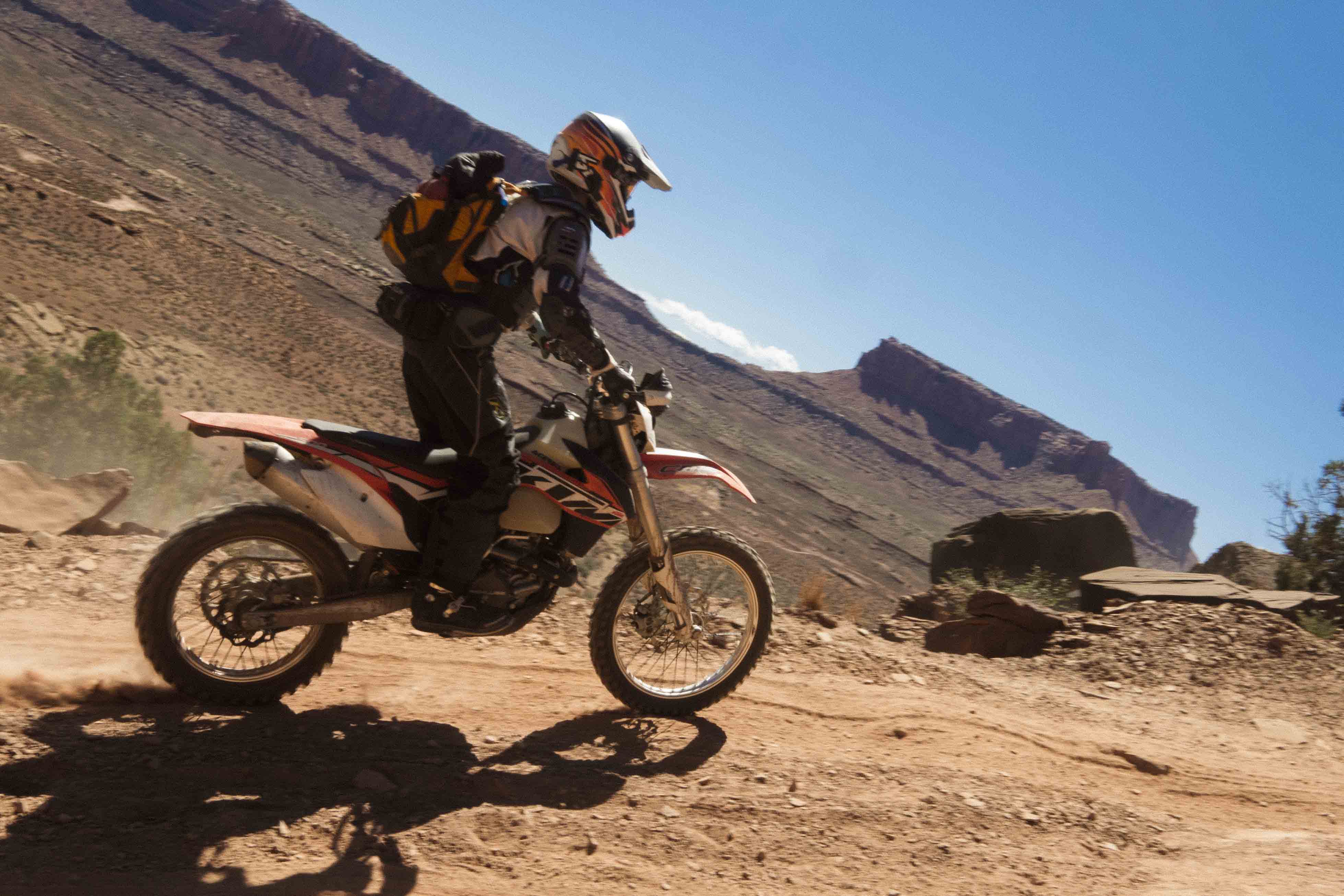
Once at the road I followed it for a about a mile to a the return trail up a wash. On the road I met a few bikers/off-roaders who were doing a traverse of the whole White Rim Road (>100 miles!). There are established backcountry sites for this purpose and it seems like it would be a lot of fun if you’re into that sort of thing.
The trail up the wash (Murphy Wash?) was very sandy but offered some different scenery as I walked back to the base of the cliffs of the Kayenta. At the bottom of the cliff I decided to push myself and I attacked the steep track with aggressive vigor. Only a short while later, panting and cursing with a heart set to bursting, I was on top and feeling quite accomplished. The final stretch to Van Halen was easy-peesy and soon I was back home.
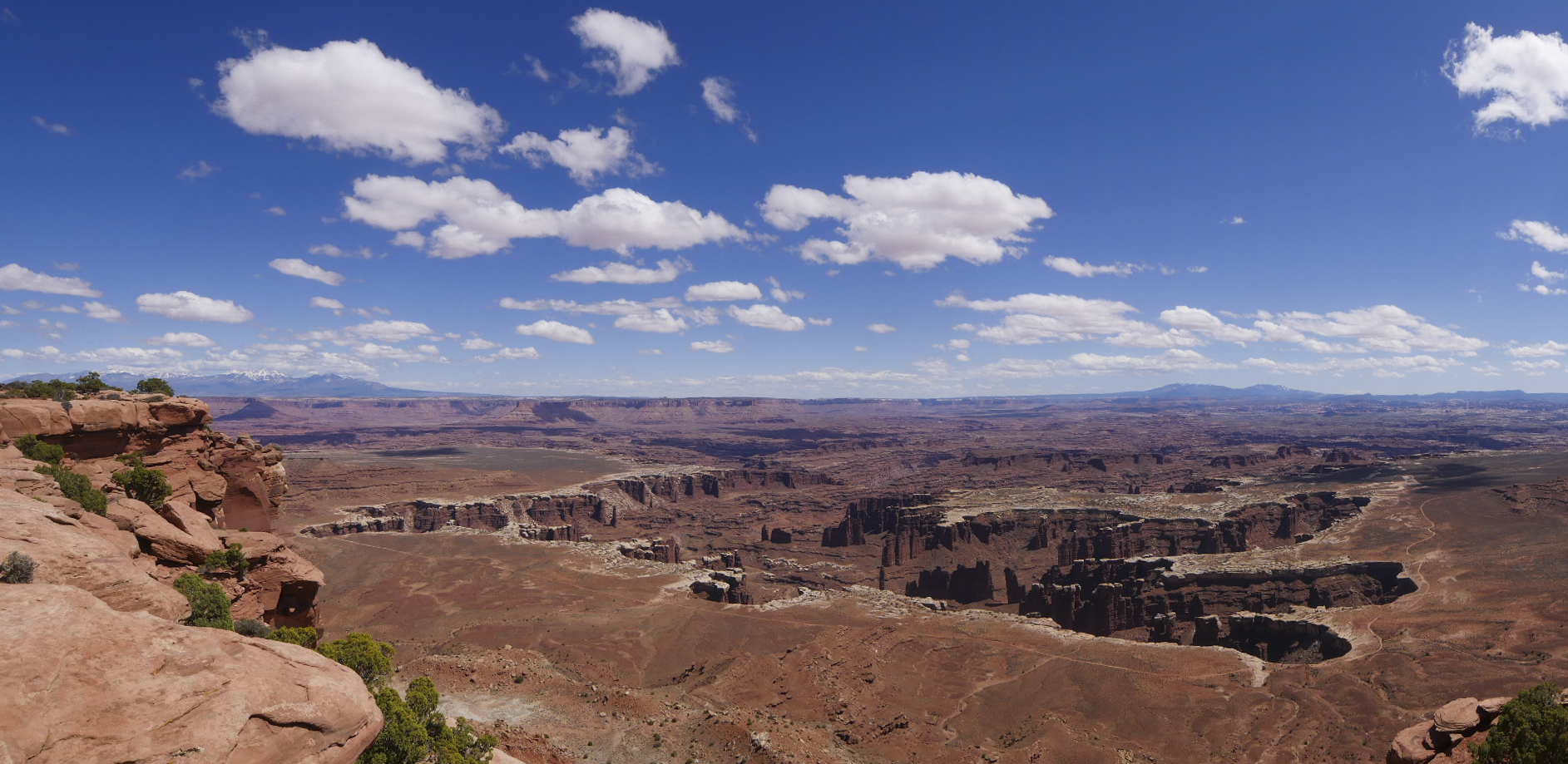
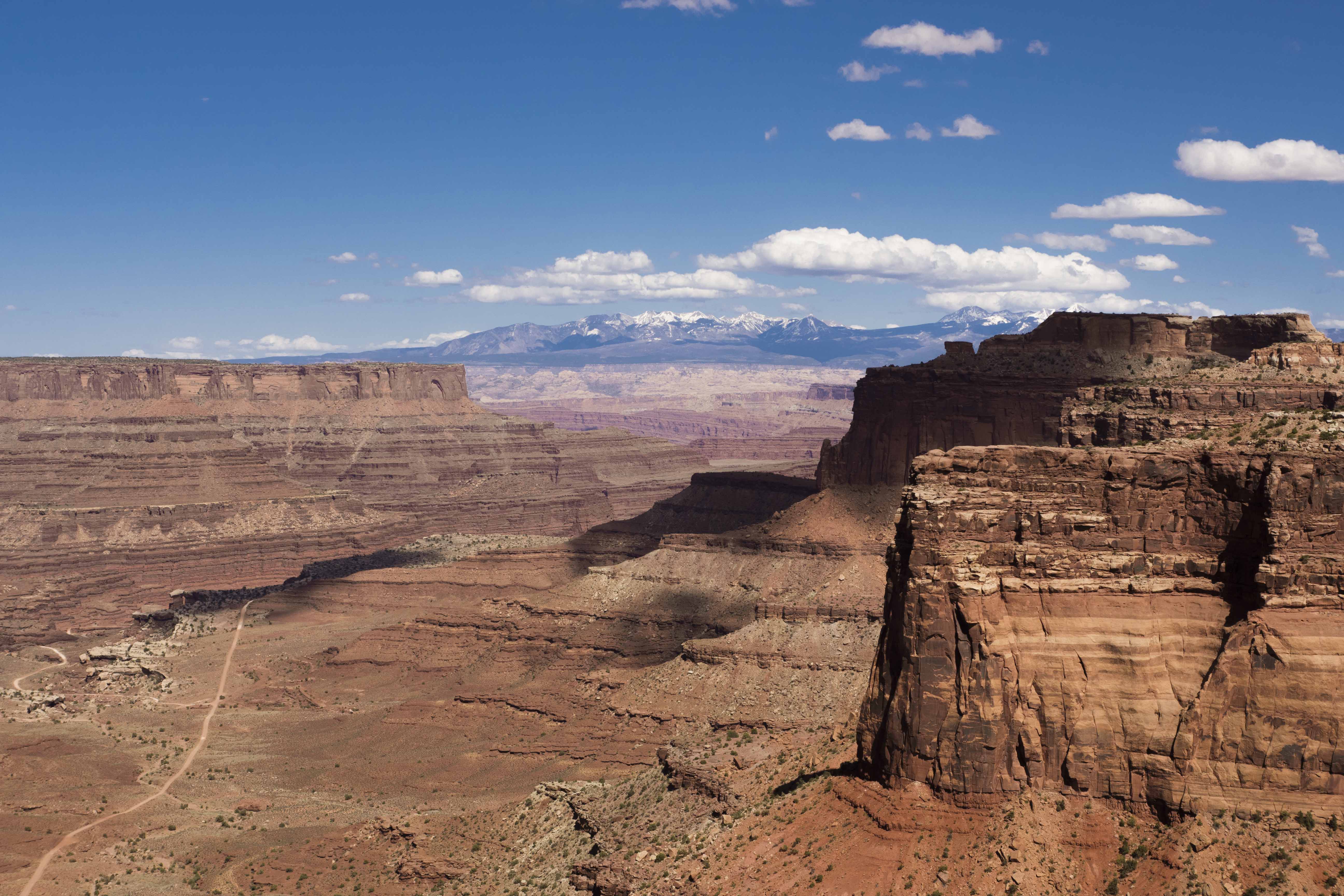
After these exertions I drove to Grand View Point for some views and a PB&J. From up on top of the mesa the jagged and winding canyons of the Colorado are more visible and cut an impressive landscape in the rock thousands of feet below. The hoodoos and spires of the inner canyons look tiny compared to the grand forms around them and towering high above everything the distant and snow covered La Sal mountains form a striking backdrop.
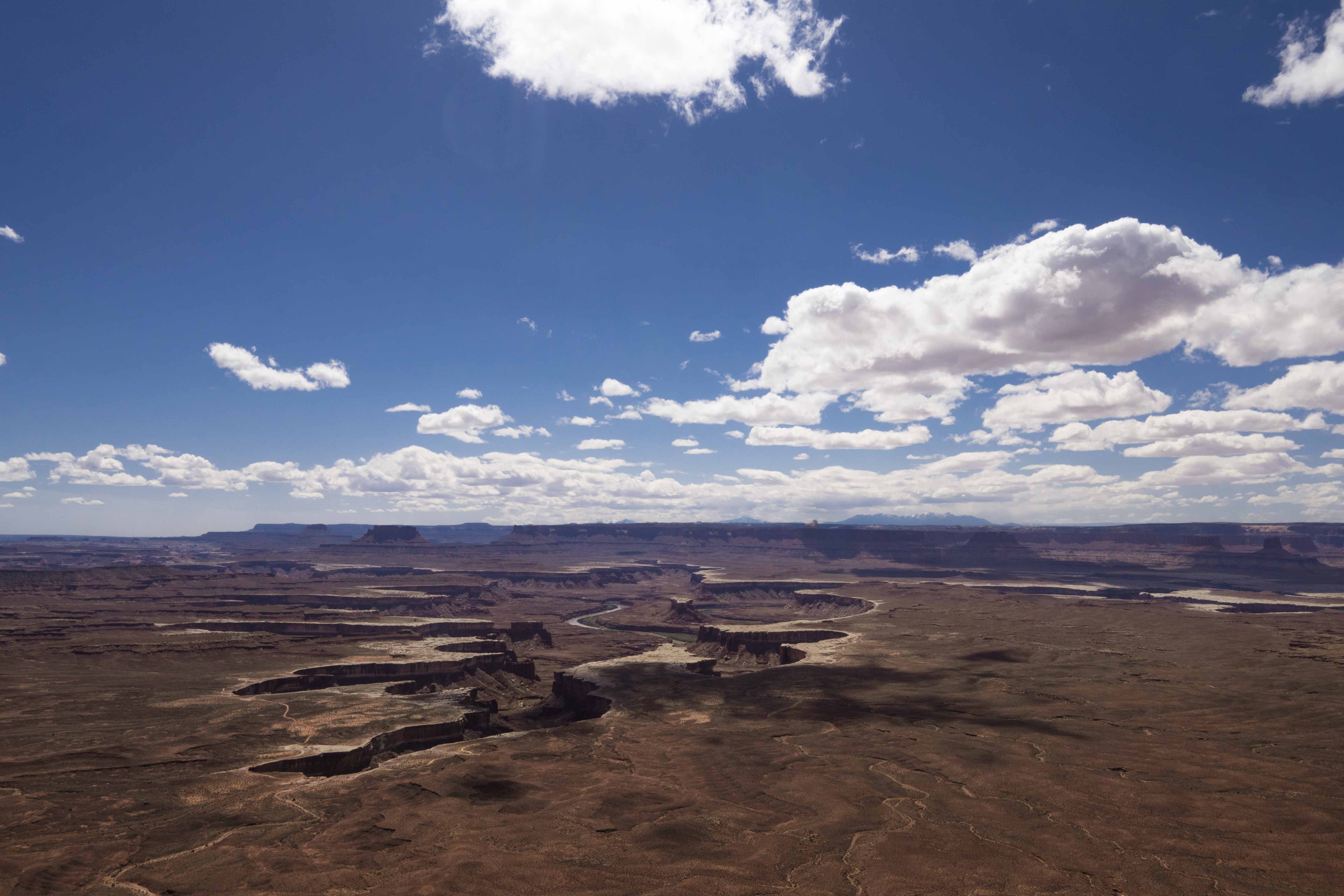
After Grand View I was off to the Green River Overlook where similar view awaited, now punctuated by the water of the Green River and its lush banks.
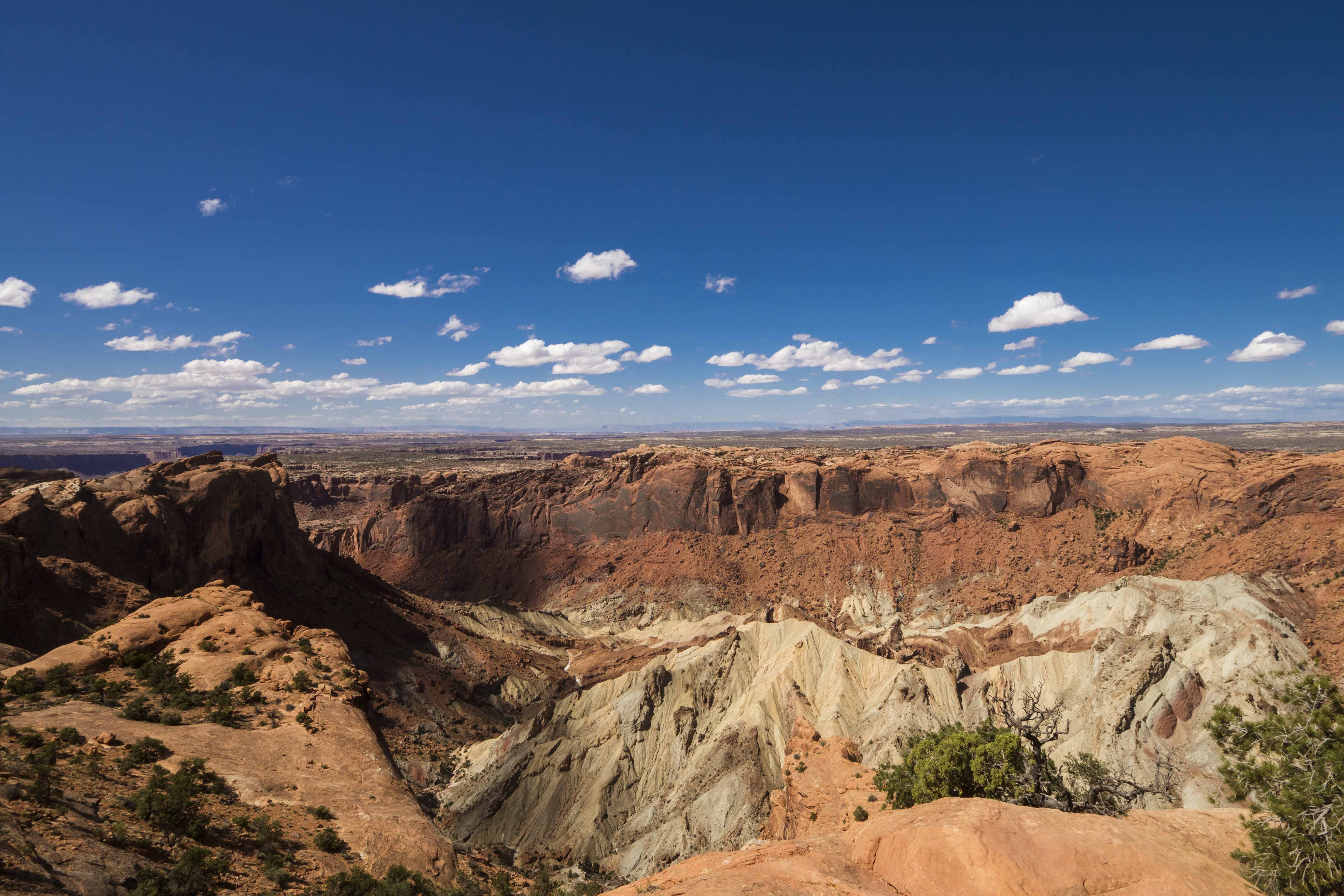
The final stop in the park was Upheaval Dome and a viewpoint that let me look down on what is perhaps an ancient meteor impact. Cool! The jagged, fractured rocked seemed out of place in a landscape dominated by smooth erosion and the soft tyranny of time.
On the way back to Moab I realized two things that had been bubbling beneath the surface all day. First, Needles is better than Island in the Sky; it offers more (any) opportunities to get up close and personal with the amazing canyon environment whereas Island in the Sky mostly contains you to float above it. Second, today was the first day I began to feel “saturated” with the beauty of Red Rock country. Don’t get me wrong, I still love it, but I increasingly felt my attentions directed inward, even while surrounded by great beauty. This is not a bad thing; wilderness begets contemplation and sometimes that’s exactly what you need.
Leave a Comment
Your email address will not be published. Required fields are marked *