The Valley of the Gods
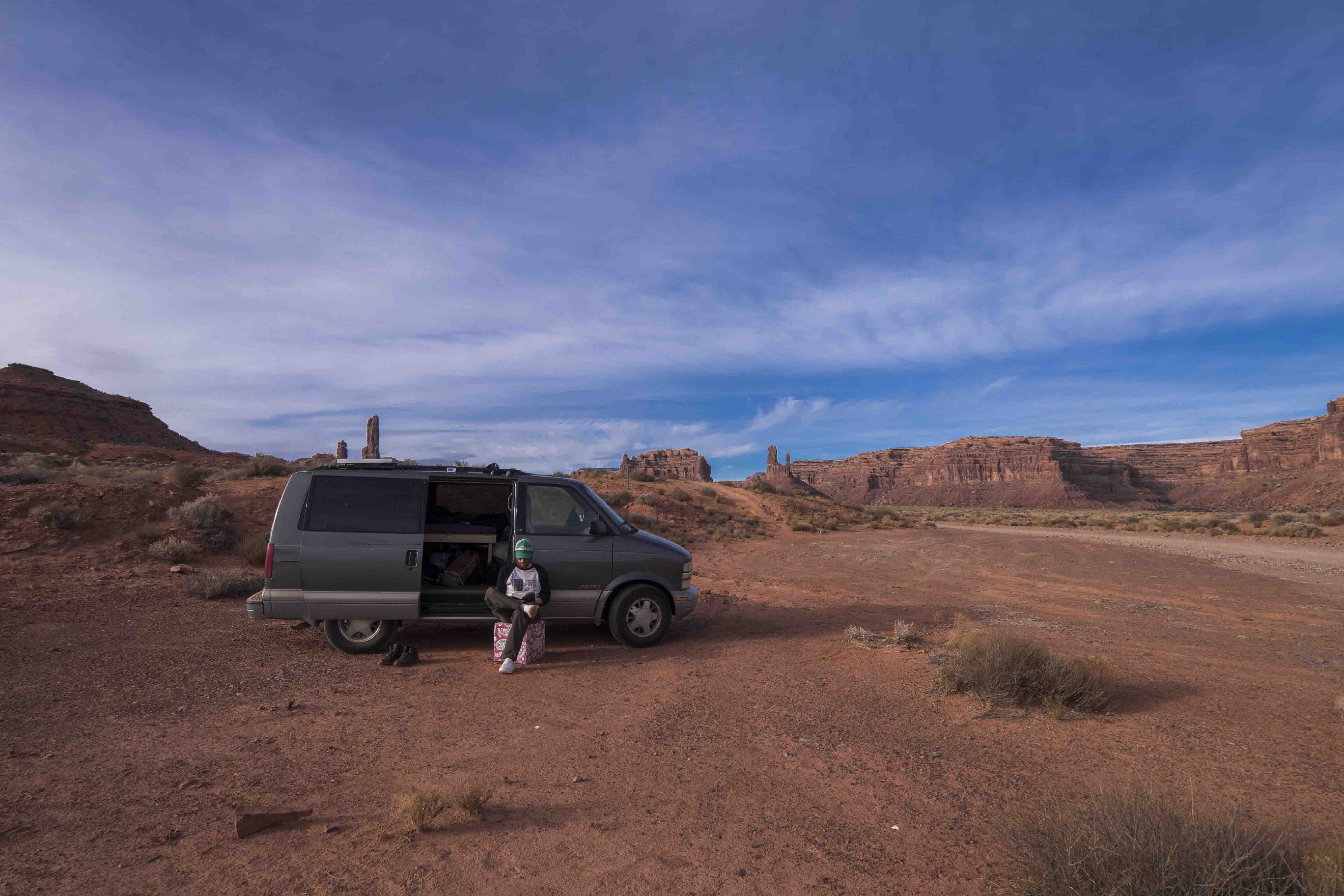
I left Cortez heading back down US 160 until stabbing north on US 191 to Bluff, UT. There was nothing there, but I would be back later and wanted to scout it out. My main target the Valley of the Gods, a sort of Monument Valley Lite that is only accessible via a dirt loop road. I had chosen it over its more famous cousin because the land is administered by the BLM, which means a) you can camp anywhere, b) it’s free, and c) it’s owned by the American people. In other words, there would be nothing between me and the essence of this country. I left Bluff on US 163 south and was soon crossing a moist stream bed into the Valley of the Gods.
From the highway you can’t see much, but as I coaxed Van Halen over the washboards, dirt, and slickrock the road wound ever deeper into the valley and each passing foot revealed views more beautiful than the last. The scenery is like something out of a dream or another world. To the north the escarpment of Cedar Mesa shoots in vertical cliffs high above the valley floor while tall rock spires, vanguards against the never-ending assault of rain and wind, stand in solemn vigil. All among these spires the ground is covered in sagebrush who’s lush, green colors make a mockery of the idea that a desert is devoid of life.
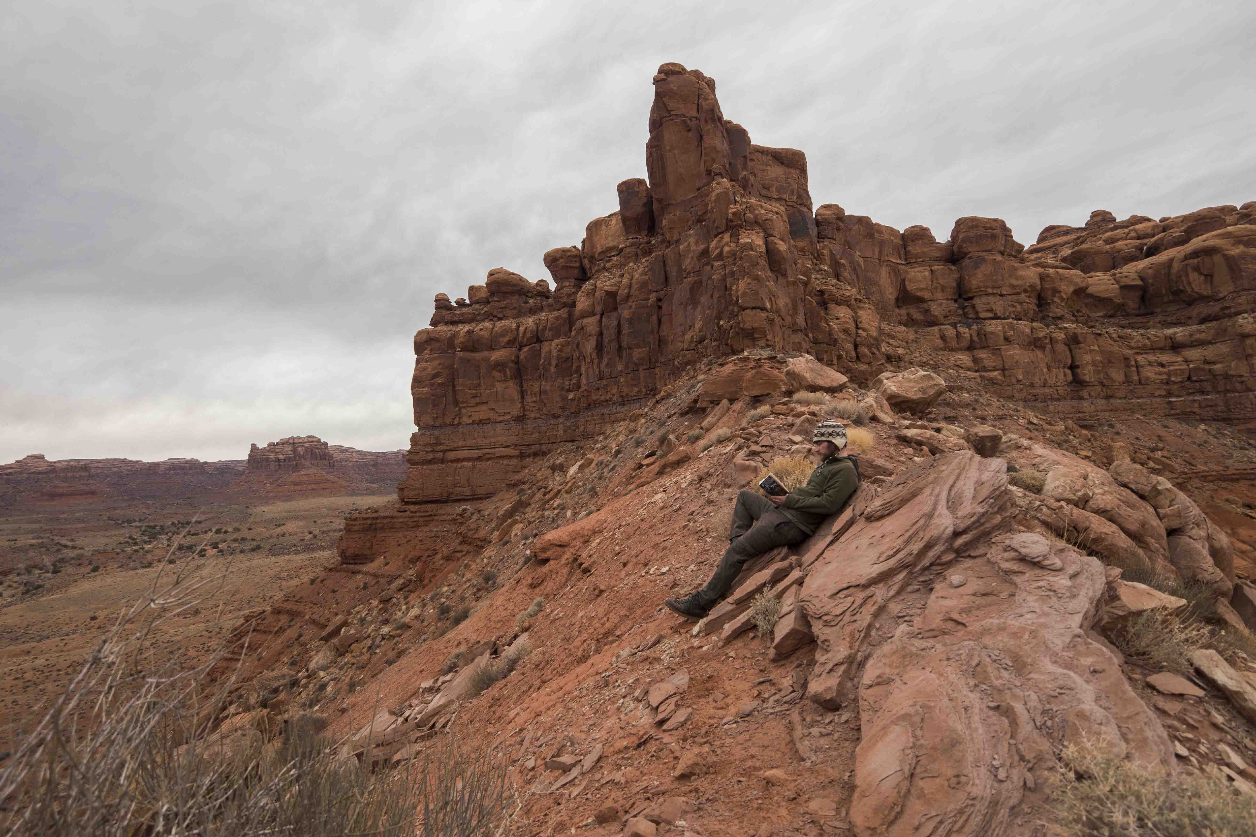
I drove a little less than half way into the valley and found a good place to make camp. From here I could hike to the top of a mini-mesa where,to my great delight, the view improved beyond what I thought possible. From up here the entire grandeur of the valley was revealed and appreciated. Determined to slow down I spent a long time on top of my modest-mesa lying in the sun, taking pictures, and in general just enjoying how the ever-changing light played of the fissures and cracks in the surrounding stone.
Out in the middle of what might have been nowhere I realized that the nowheres are perhaps the most cherished thing this country has. America was the first, and still one of the few, countries in the world to set aside land specifically to be left in its natural state. Ask me what the one, true symbol of America is and I will tell you it is not a flag or a statue or a person. Many countries have these things. No, perhaps the greatest resource this country has is its wild spaces, its nowheres, the idea that just around a few bends in the road there is a border between the civilized and the uncivilized, the known and the unknown. Every American understands this, at least subconsciously. They understand and take comfort in the fact that, even if they never see it, somewhere out there is untamed land waiting to be explored. It is in these places that we can store all of our hopes and dreams, free from the sometimes harsh realities of modern life; the wild places are the repositories of America’s boundless optimism. They belong to us all and call to us all.
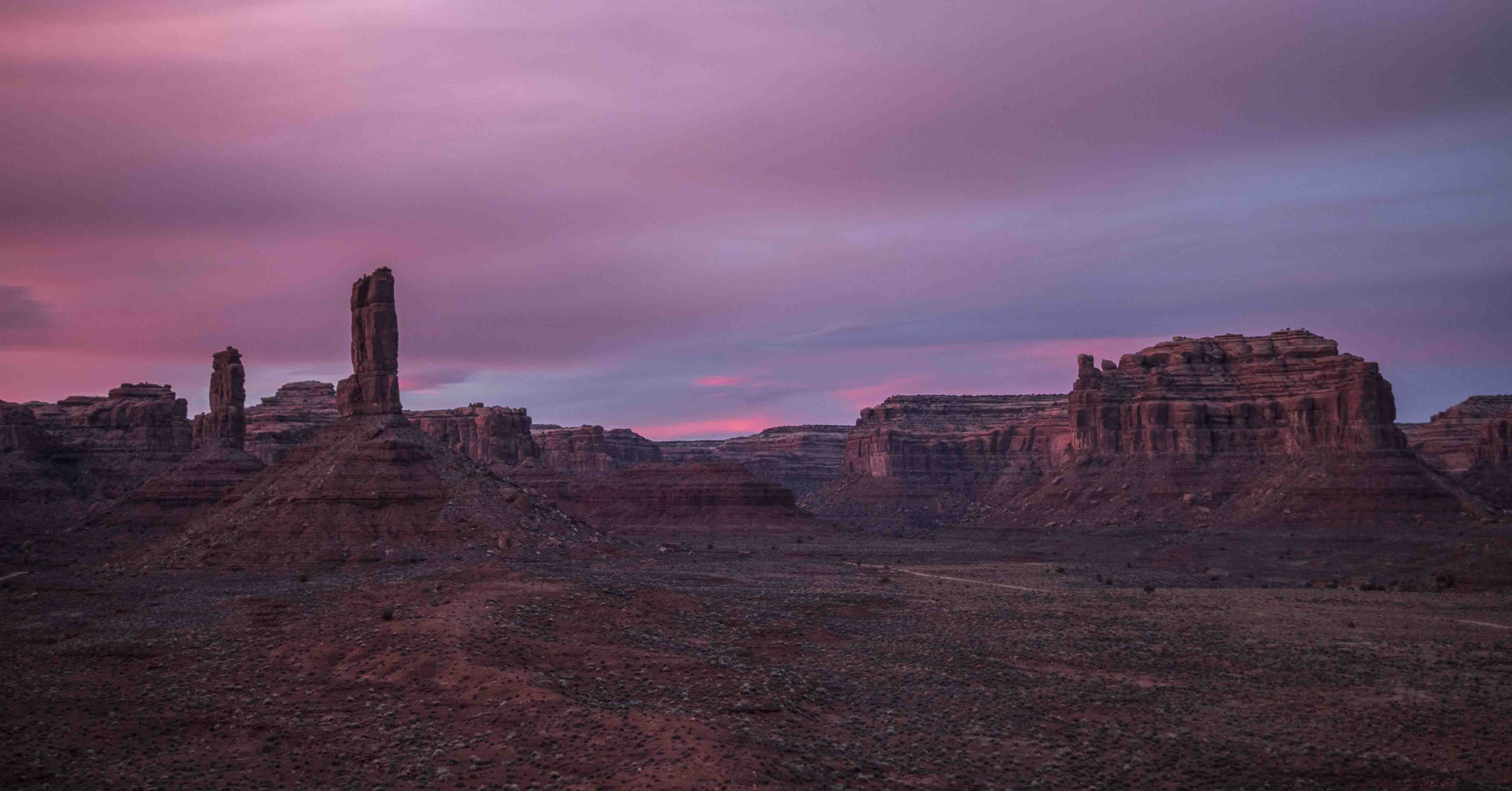
Thoughts of dinner yanked me back from my reverie (but not quite into reality) and I headed back to camp. I had to cook beans that night and started them simmering well before the sun went down in the hope that I could get some good views of the sunset. Unfortunately it had gotten cloudy on the horizon and there was no sunset to be seen. I made good use of the time, however, and finally cracked into one of the many books I had taken with me. Not one to be ignored the Sun managed to part the clouds just after sunset and the sky erupted as if the fiery orb had crashed down upon the earth. I sprinted to the top of my mezze-mesa just in time to take a picture or two (and narrowly avoid a heart attack!).
That night was the full moon, but once again clouds hindered any real amazement born from this fact. I spent the night reading in Van Halen and accidentally completely drained the solar battery, which you are NOT supposed to do. Oops.
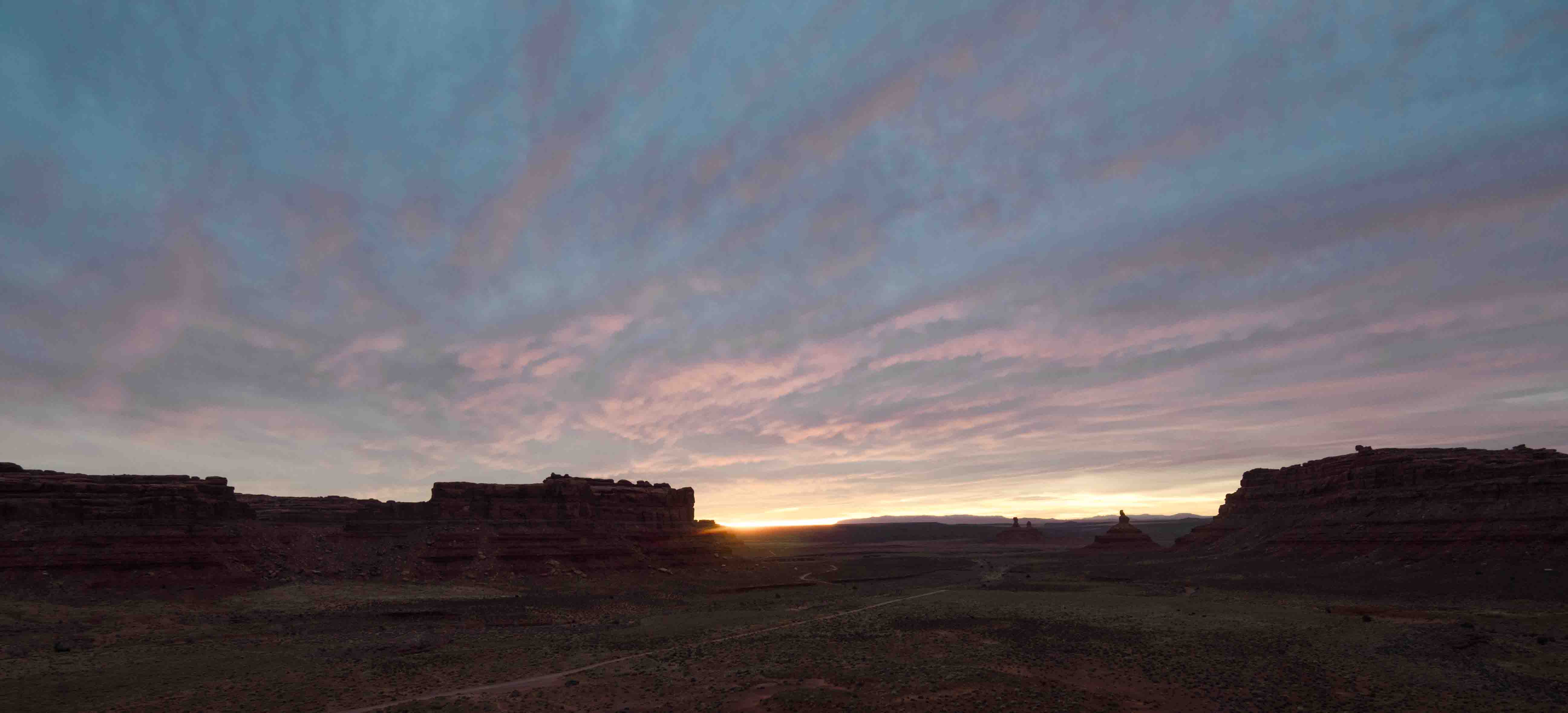
I woke up the next morning just as the Sun was beginning to warm the eastern horizon and once again sprinted to the top of my micro-mesa to get a good view. And once again low clouds prevented anything profound, but I still got a few good pictures.
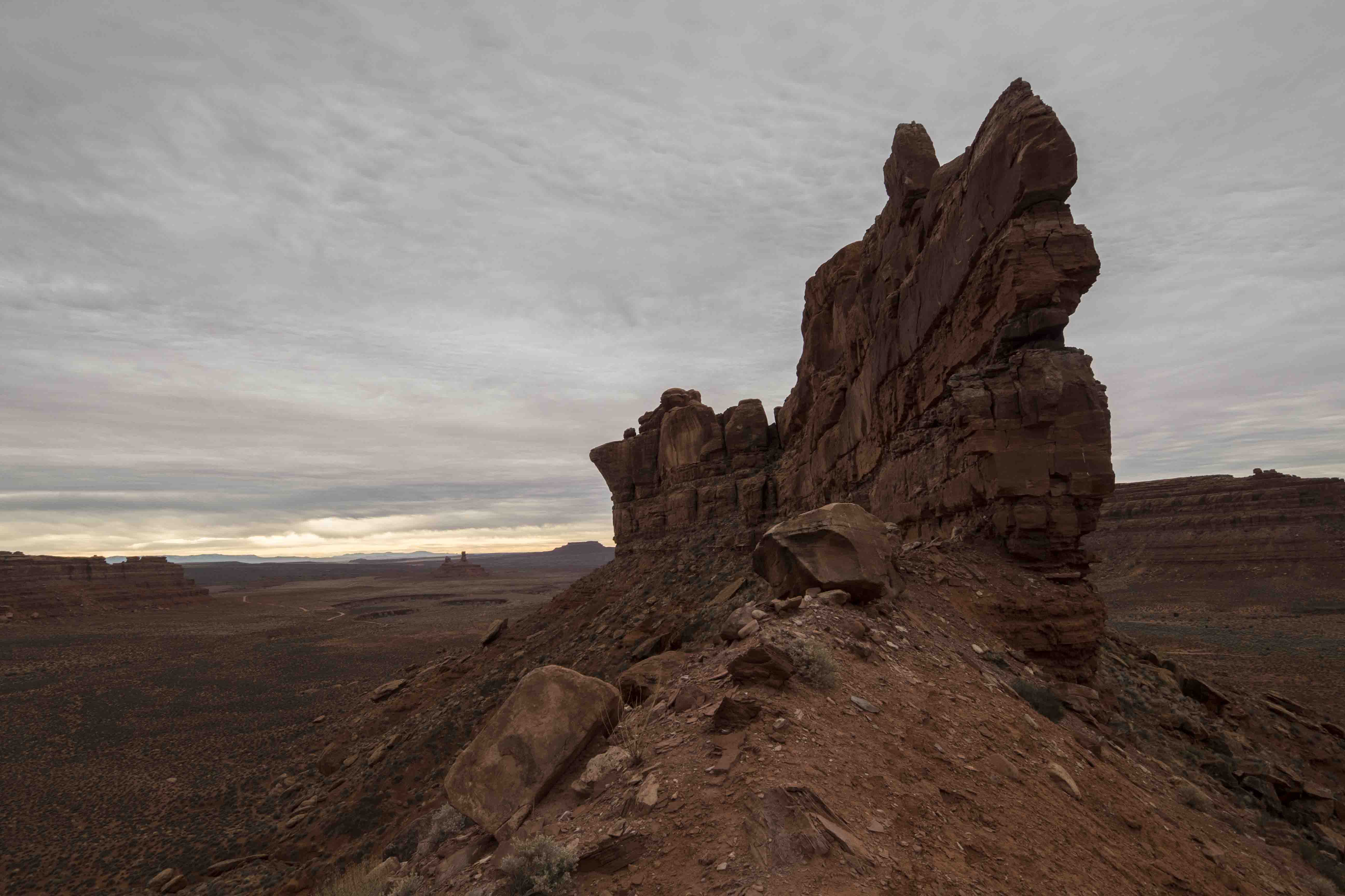
The morning was spent hiking up a nearby full-on-bluff. There was one section where the capstone had collapsed and the talus slope led straight up to a saddle. From here I could see the whole valley and the next valley over. I stayed here reading for a bit and was quite comfortable despite the lack of Sun.
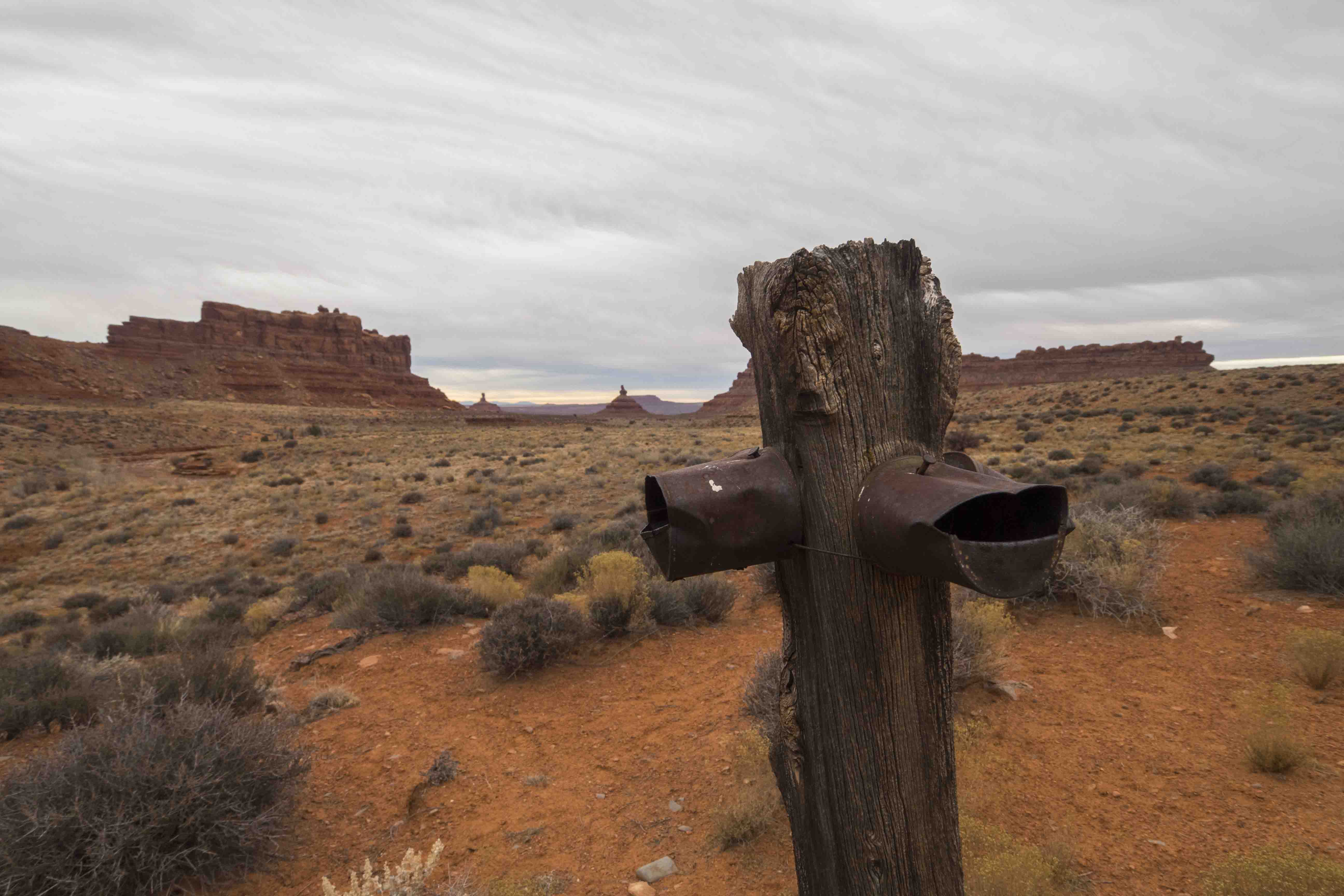
I walked back to camp along a dry wash and found some of the usual, mysteriously old and rusty equipment lying around. Man, people have been everywhere. Once back to camp I continued on the road deeper into the valley and got very close up to some of the main spires. It was cool to see them up so close, but I was glad I had chosen a camp where I could see everything at once.
The Moki Dugway
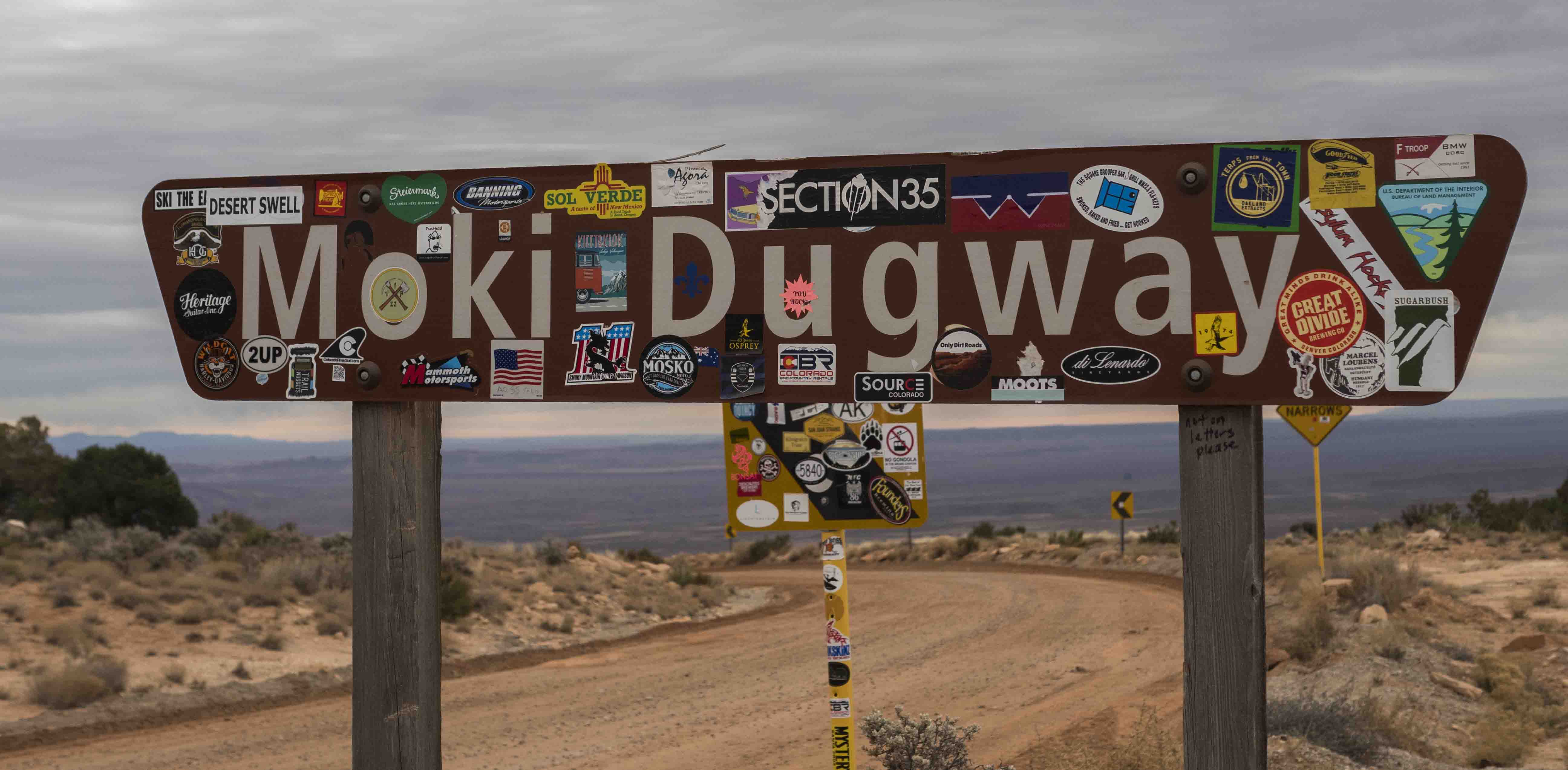
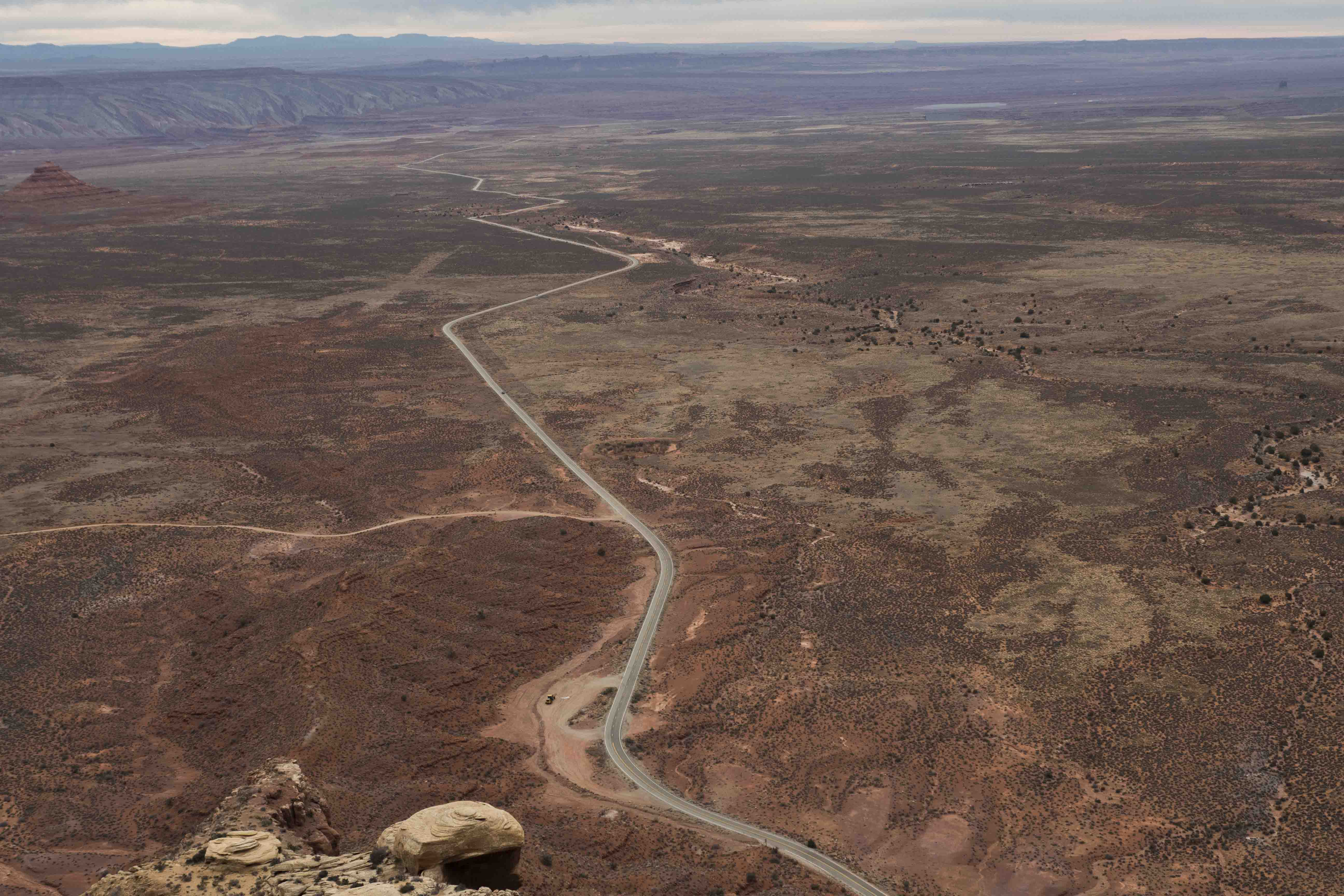
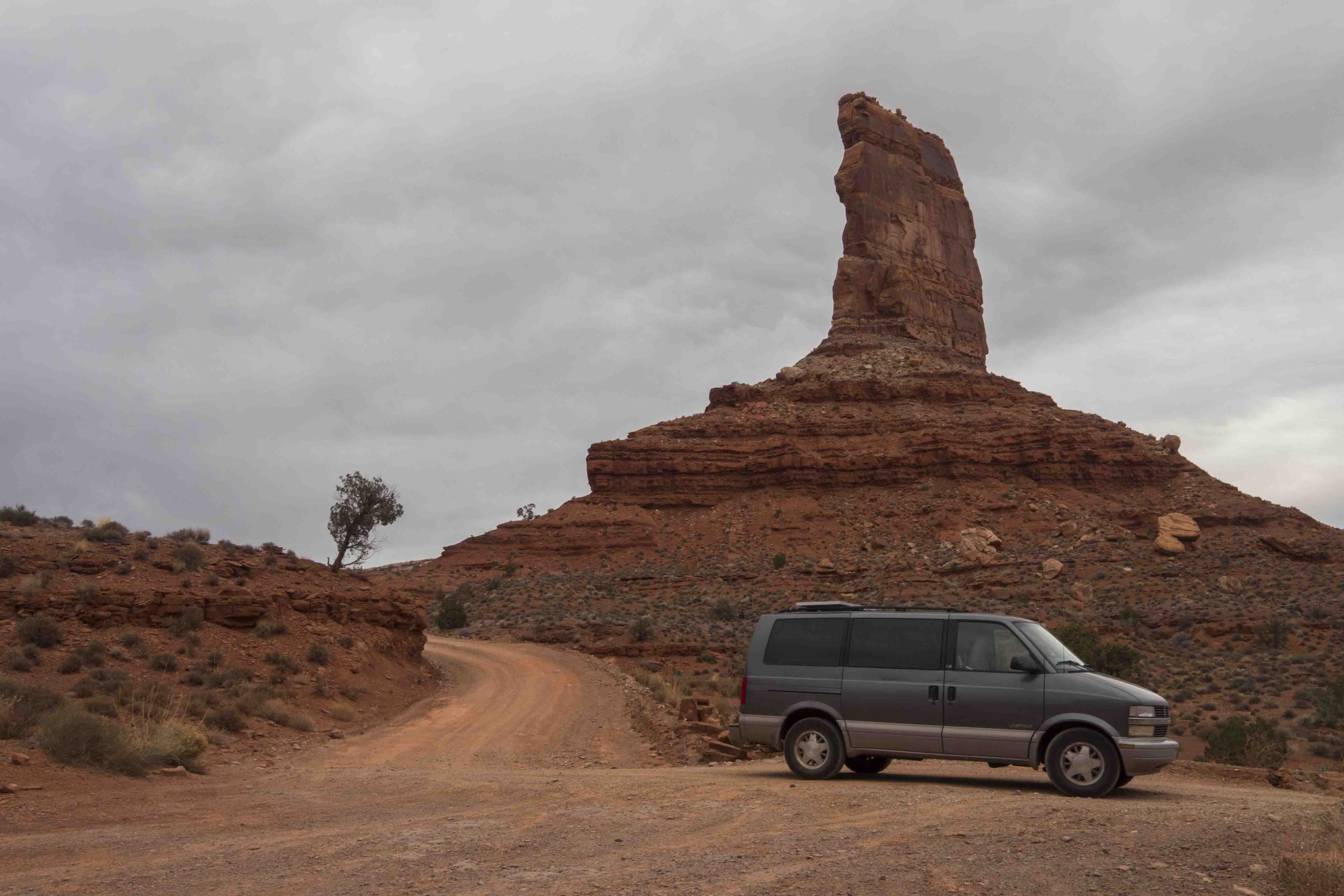
The western end of Valley of the Gods road ends at UT 261 just before the Moki Dugway, a portion of the “highway” that climbs directly up the side of Cedar Mesa. During the last few miles of the VotG road I was looking for signs of the Moki, but could find none upon the impossibly sheer cliffs of the Mesa’s edge. Imagine my surprise when I turned onto UT 261 and saw the road disappear into the cliffs directly in front of me!
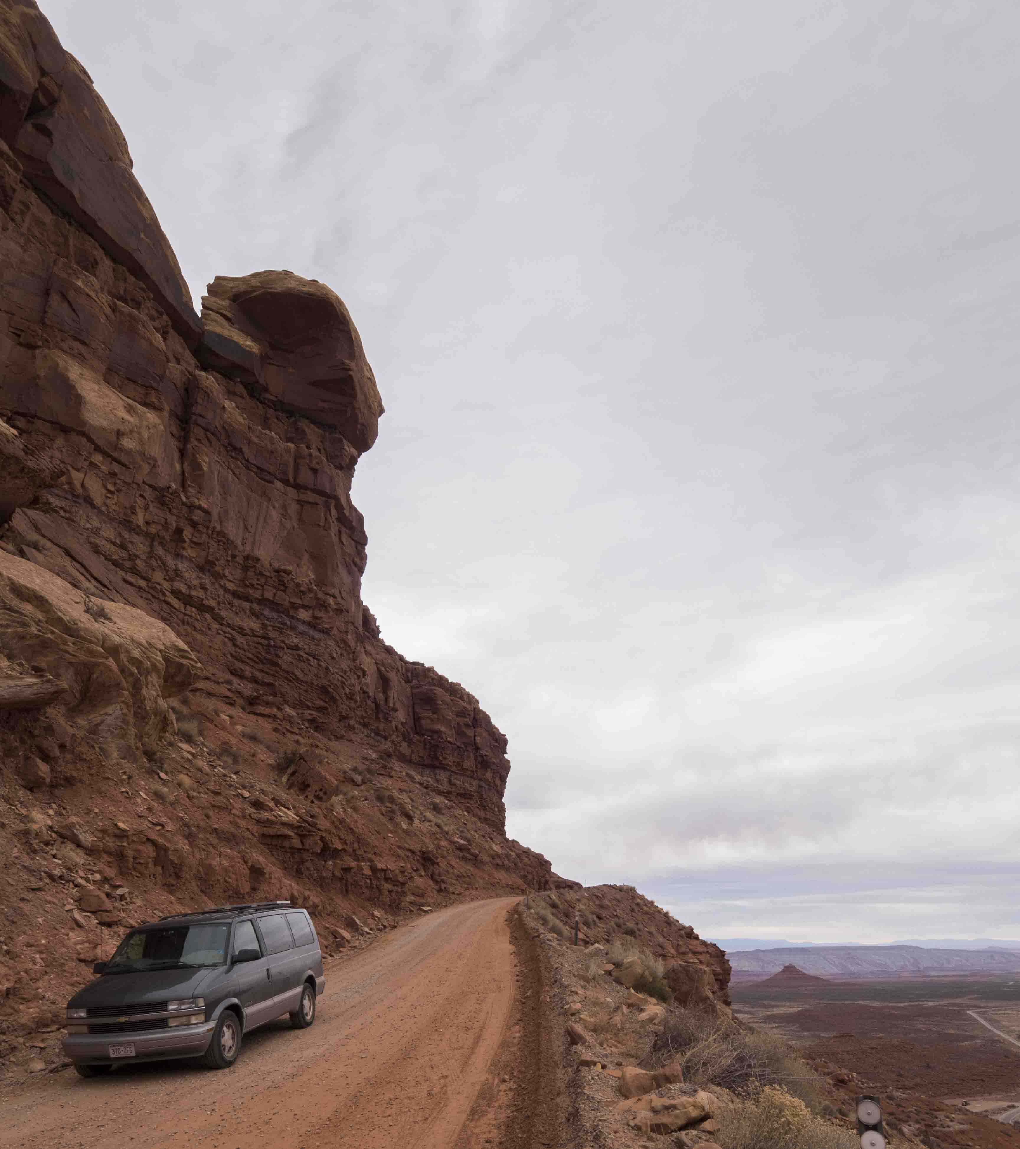
The road itself is 3 miles from top to bottom, made of well graded dirt/gravel, has no railings, and is insanely steep. The drop off the side is totally vertical, and if you lose control the only thing to stop you would be the valley floor. This was one of the most awe-inspiring, curse-inducing, and sphincter-clenching stretches of road I have ever driven.
I did it up and down :)
Comb Ridge
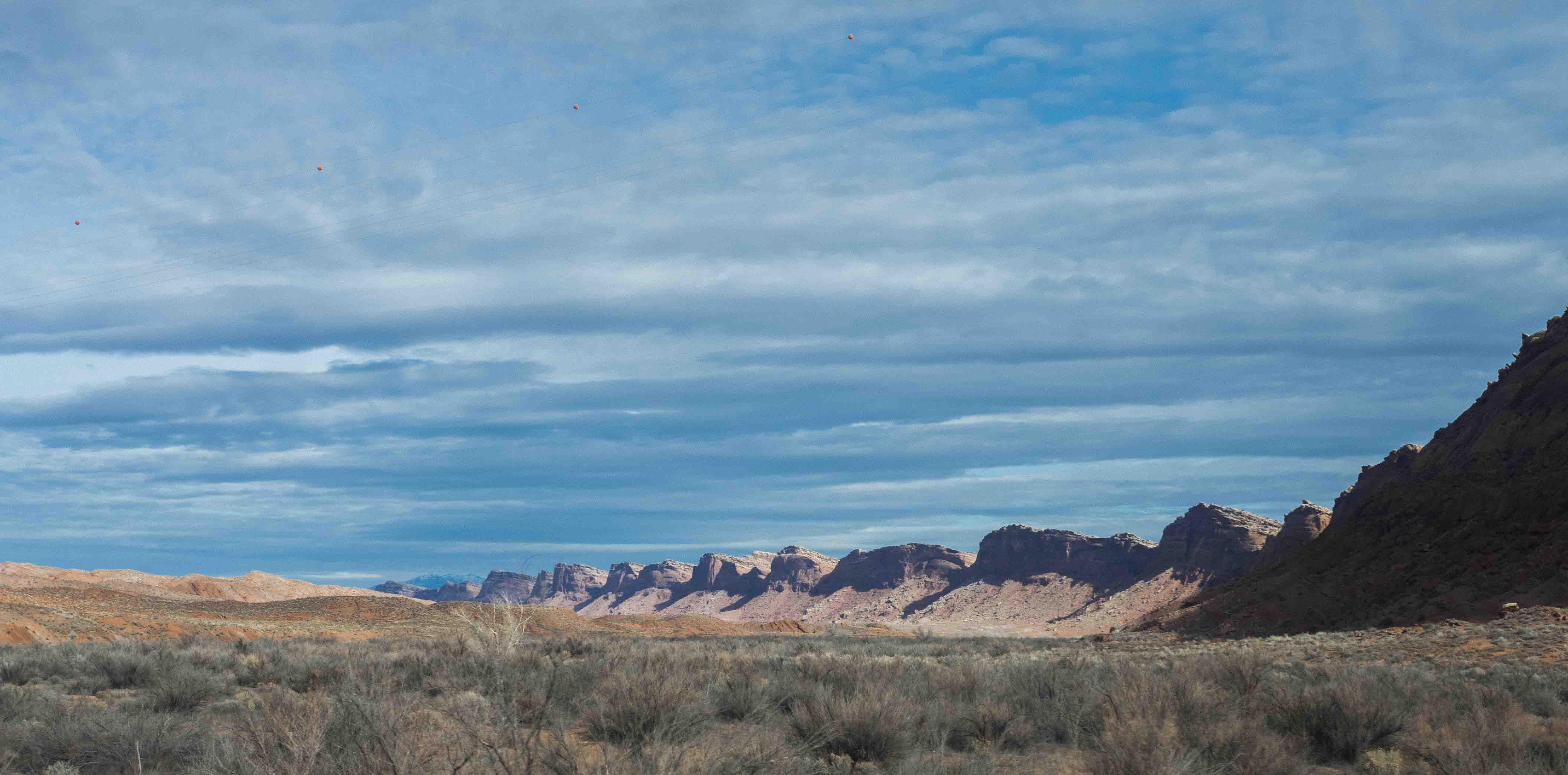
Comb Ridge is another spectacular geological feature along the San Juan river near Valley of the Gods. This geological upheaval forms a narrow ridge that runs north to south for many many miles. Its eastern side slopes gently upwards at about 30 degrees or so until it comes to an abrupt halt with sheer cliffs facing west. It is a very striking barrier and was apparently a real problem for early travelers in the region.
After the Moki Dugway I put some asphalt beneath my wheels again and headed to Mexican Hat, UT. I stopped at the Old San Juan Bridge Inn looking for some beta on Comb Ridge petroglyphs the ranger at Mesa Verde had told me about. I met a very nice man named Joey who, while making me a tasty milkshake, told me all about the area. As a Navajo his connection to this area ran deep and he had a lot of good information to give. Taking it all in my mind reeled at the thought of seeing everything even in one lifetime. This is a region that is begging me to return for years to come.
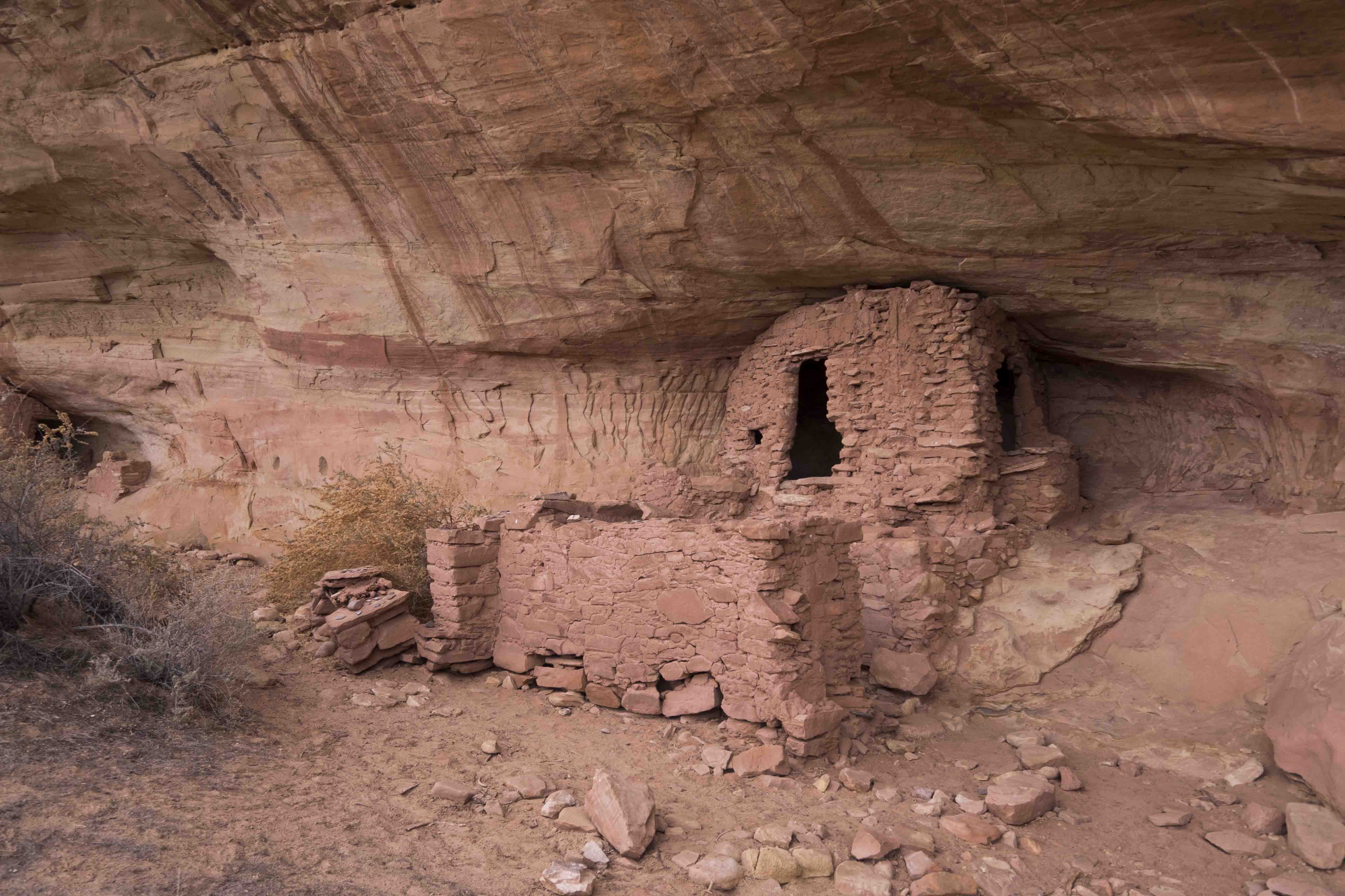
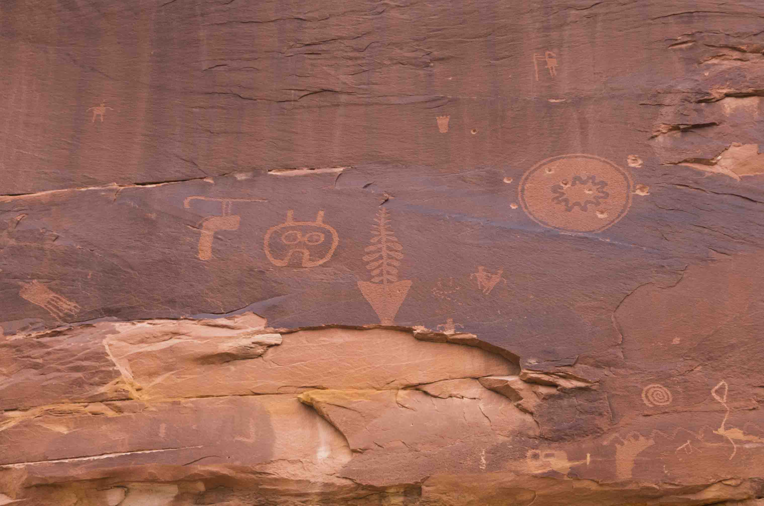
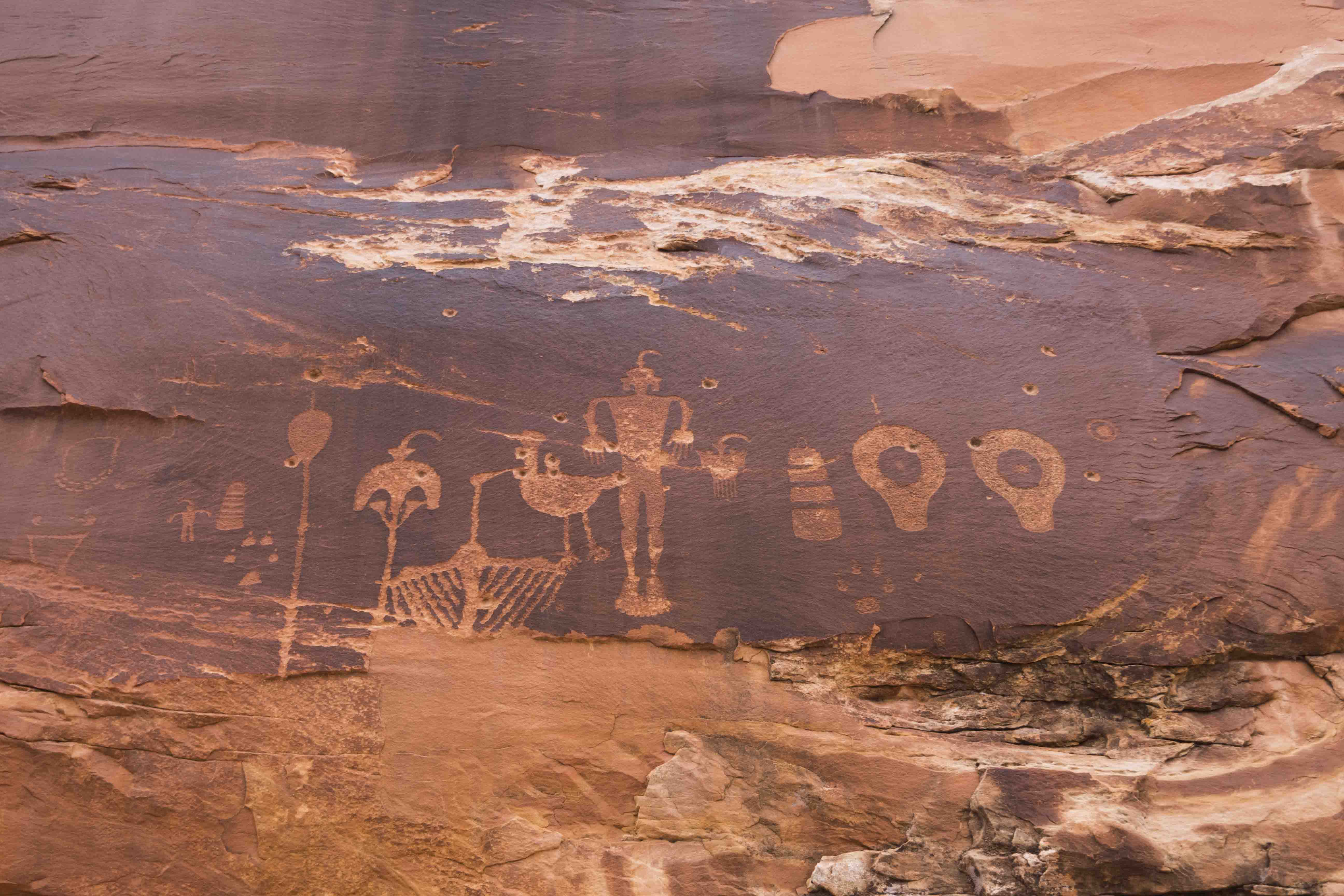
I left the Inn with simple directions to the Butler Wash (where the petroglyphs are located): take the road across from the Bluff airport for 1 mile and turn left at the cattle guard. Easy. It was a fun little scramble down into the wash, and the petroglyph panel (the Wolfman panel) was worth the trip. I took the trail a bit farther and found some old cliff dwellings too. I had also wanted to get to the western edge of Comb Ridge and spent some time picking my way across the slickrock as I climbed its eastern slopes. Sadly, in the dwindling light I was only able to make it to the top of an eastern sub-ridge. Yet another reason to come back!
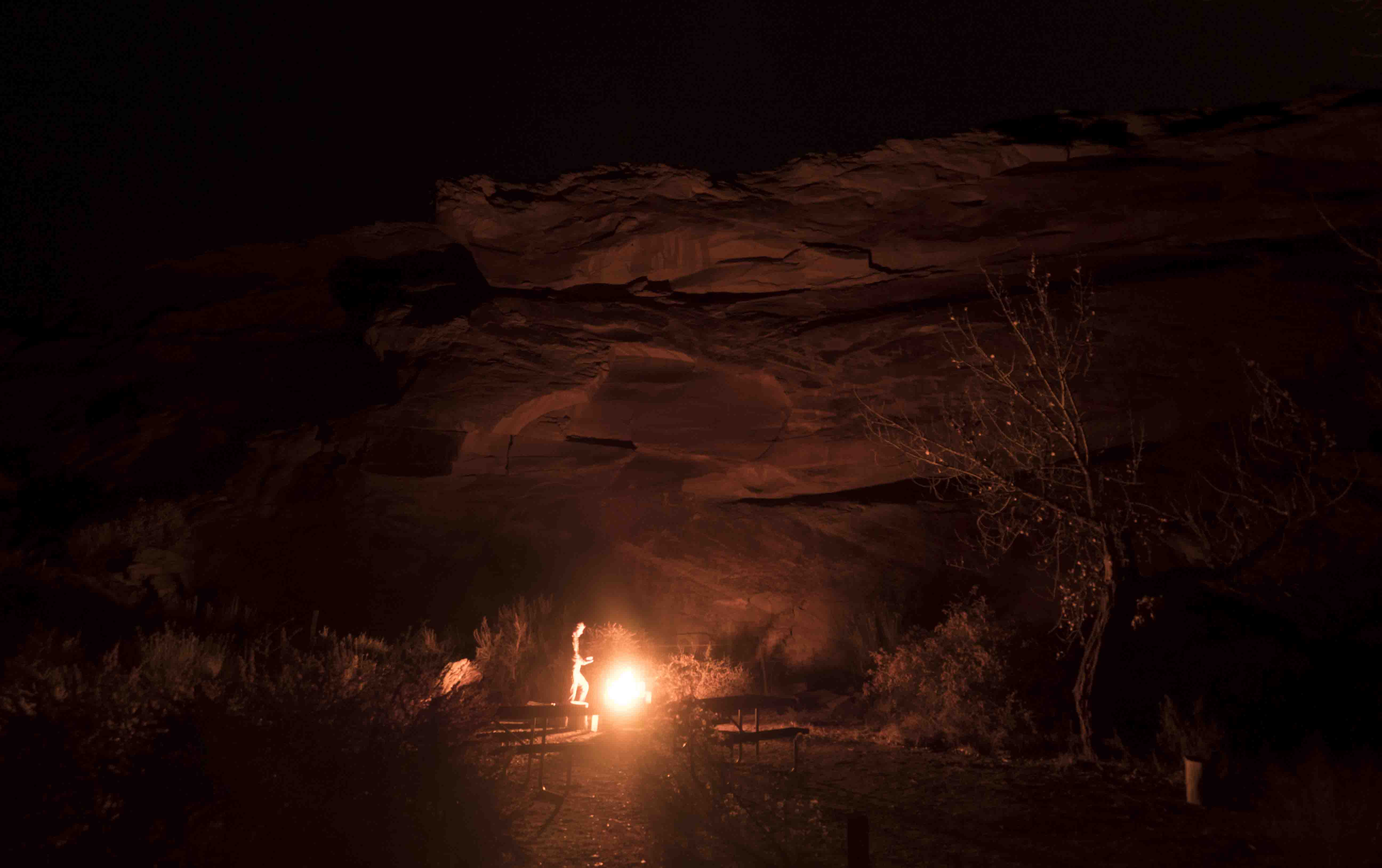
I spent that night at the Sand Island BLM campground just outside Bluff. During the summer I imagine this is a very lively place (it has a very nice ranger station and boat launch on the San Juan), but this late in the season I had it all to myself. I found a site right against some red cliffs, built a fire, and spent the rest of the night soaking up its primeval glow, reading, and feeling content. There a few things better than a night around a fire after a day bounding about the wilderness.
From the Valley of the Gods to the Moki Dugway to Comb Ridge, this might have been as close to a perfect day as anyone can hope for. If you’re ever in the area I recommend getting just a little bit lost among the spires and washes of southern Utah. You might just find something you didn’t know you were missing.
Errata
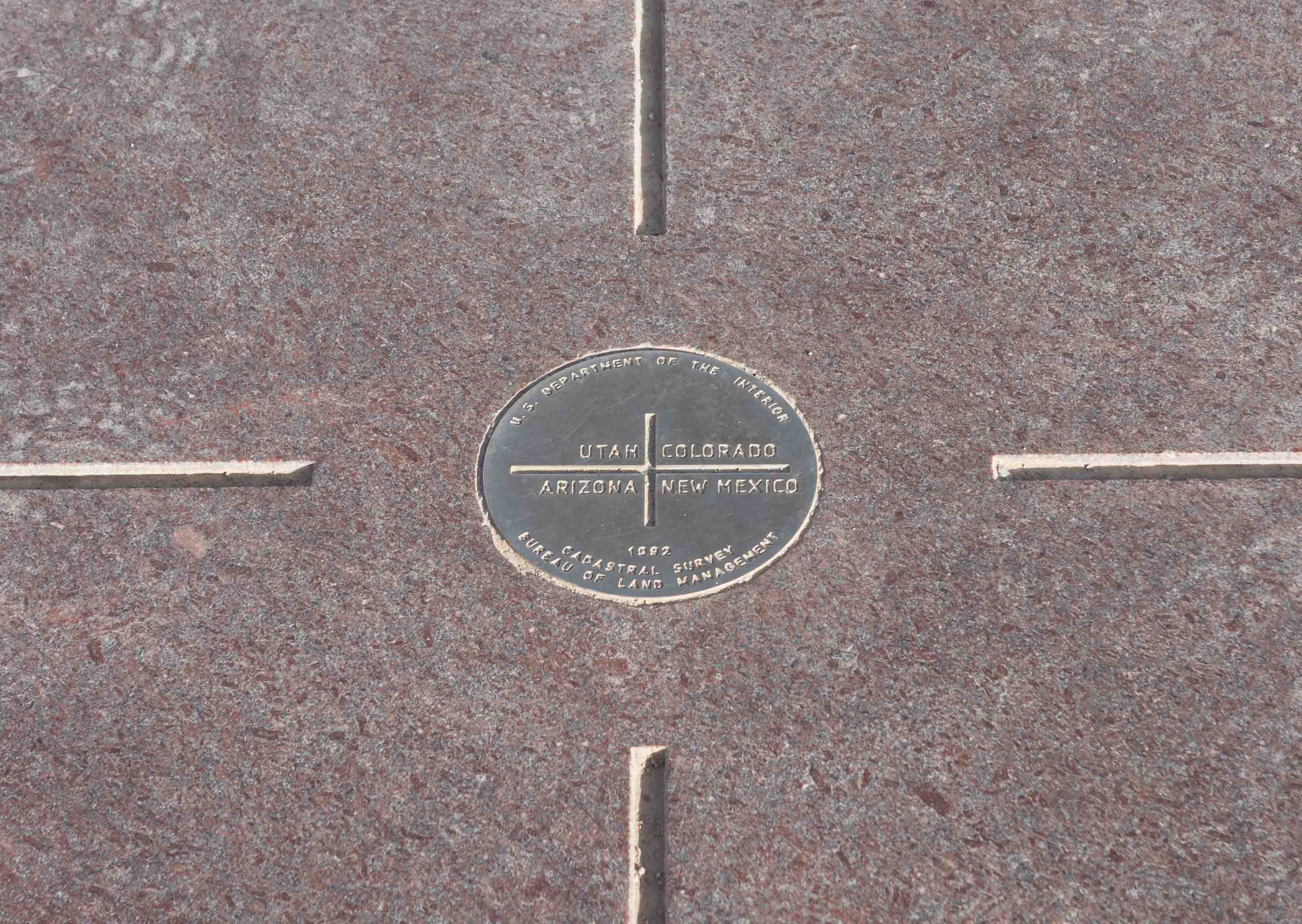
Oops, I forgot that between Cortez and Bluff I also went to check out the Four Corners monument. Here’s a picture of it. It was $5 but worth the kitsch, I suppose. I made sure to use my phone’s GPS to stand in the real intersection of the states because the bronze medal is actually a little bit off!
It was crazy to think of old-time surveyors trying to make straight lines across hundereds of miles of wilderness and rough terrain. Good job, guys!